Hi there!
Welcome to America’s first national lakeshore!
A trip to Pictured Rocks National Lakeshore means a trip to the Great Lakes and a trip to Lake Superior!
You will be going to the Upper Peninsula of Michigan!
Pictured Rocks is one of the best places to visit in Michigan, and it can be a perfect part of your Upper Peninsula road trip!
You can see sand dunes, colorful rocks at the beach, the famous Pictured Rocks cliffs, waterfalls, and amazing views of Lake Superior!

📌 Save this post for later! Save on Pinterest! 👈📌
Driving to Pictured Rocks from Munising
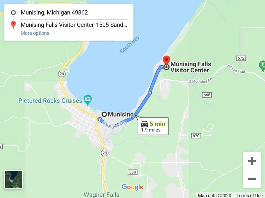
Map of Munising to west entrance of Pictured Rocks National Lakeshore.
So this first part will start by going in the general order of west to east, so if you are entering Pictured Rocks National Lakeshore park from the Munising side.
Your landmark for easy reference on this side can be the Munising Falls Visitor Center.
This is also the side of Pictured Rocks that’s closest to Marquette.
1. Munising Falls
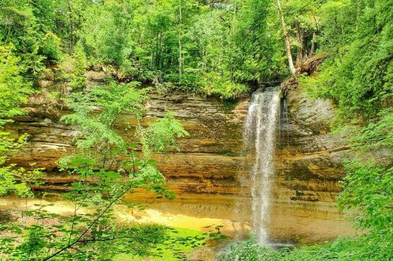
This can be a pretty quick visit, or you can make it a little longer by going to the different viewpoints. The trailhead is located right at the Munising Falls Visitor Center.
It’s about a 5 minute walk to get to the straight on waterfall viewpoint. And then there are stairs that you can take to get to the 2 more viewpoints.
See more about Munising Falls.
2. Sand Point Beach
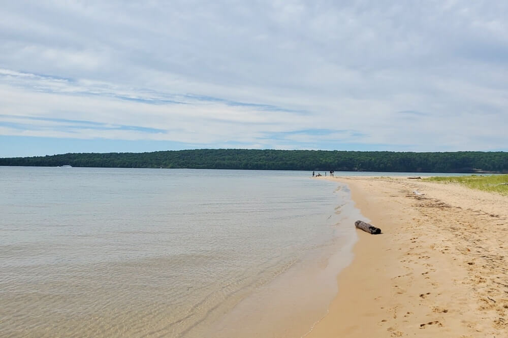
This is said to be usually the warmest water temperature you’ll find in Pictured Rocks for swimming in Lake Superior.
3. Miners Castle Overlook
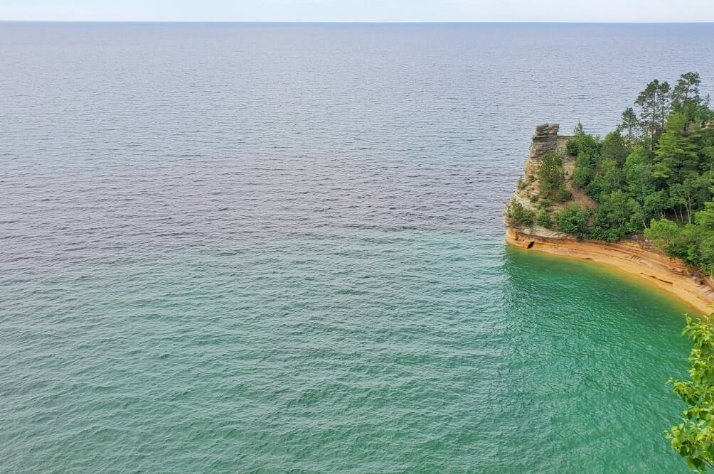
This is one of the most popular spots in Pictured Rocks National Lakeshore. There are 2 overlooks you can walk to in order to see the iconic Miners Castle Point. You can also hike to Miners Beach from here. (Coming up on the list.)
🌳
4. Miners Falls
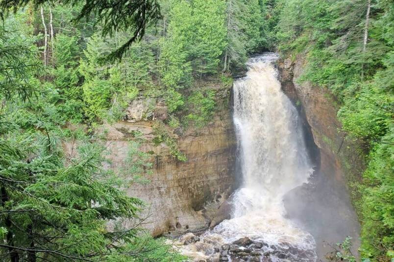
This is another shorter waterfall visit that you can do. It’s listed as 1.2 miles round trip, and there are some stairs. The trail will take you to an overlook of the waterfalls.
See more about Miners Falls.
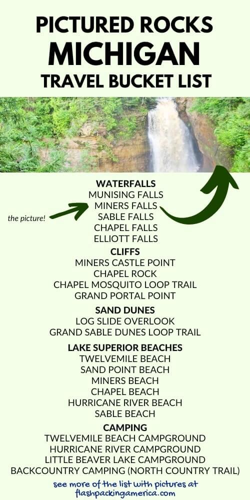
📌 Save this post for later! Save on Pinterest! 👈📌
5. Miners Beach
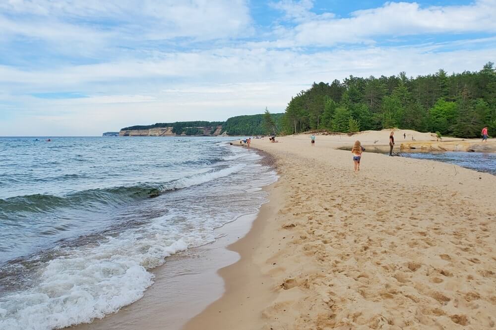
This is a sandy beach you can visit. There’s a parking lot for the easy access to Miners Beach.
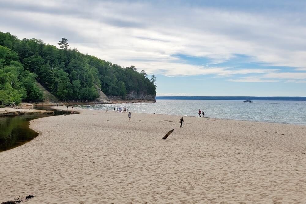
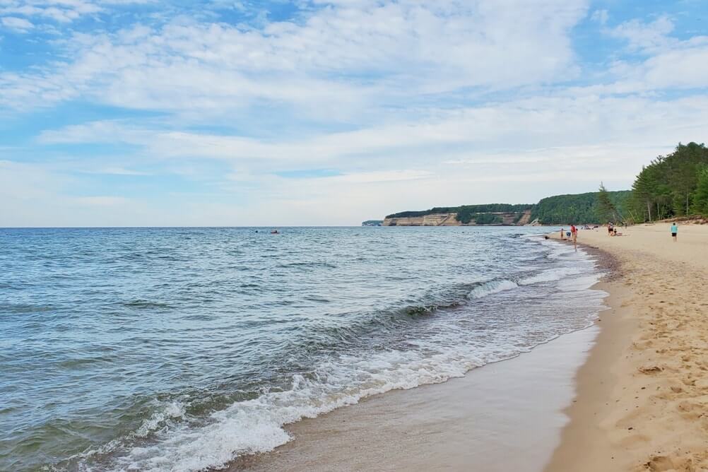
Or if you’re looking to go hiking in Pictured Rocks, you can hike to Miners Beach too. There is a trail that goes from the Miners Castle overlook to Miners Beach, and this would be around 2 miles round trip, although it can be more or less depending on how much you walk around the overlooks and at the beach.
6. Elliott Falls
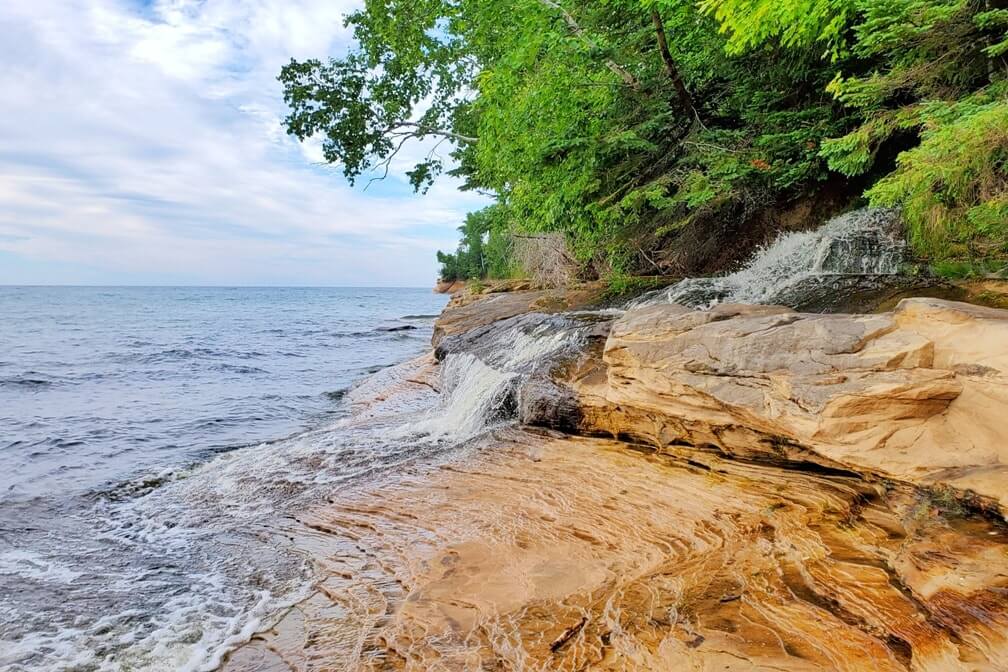
Hike further along Miners Beach and you can see small waterfalls flowing into Lake Superior!
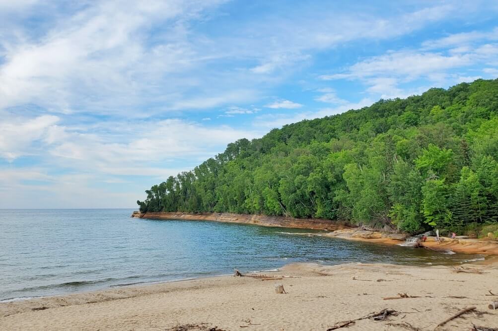
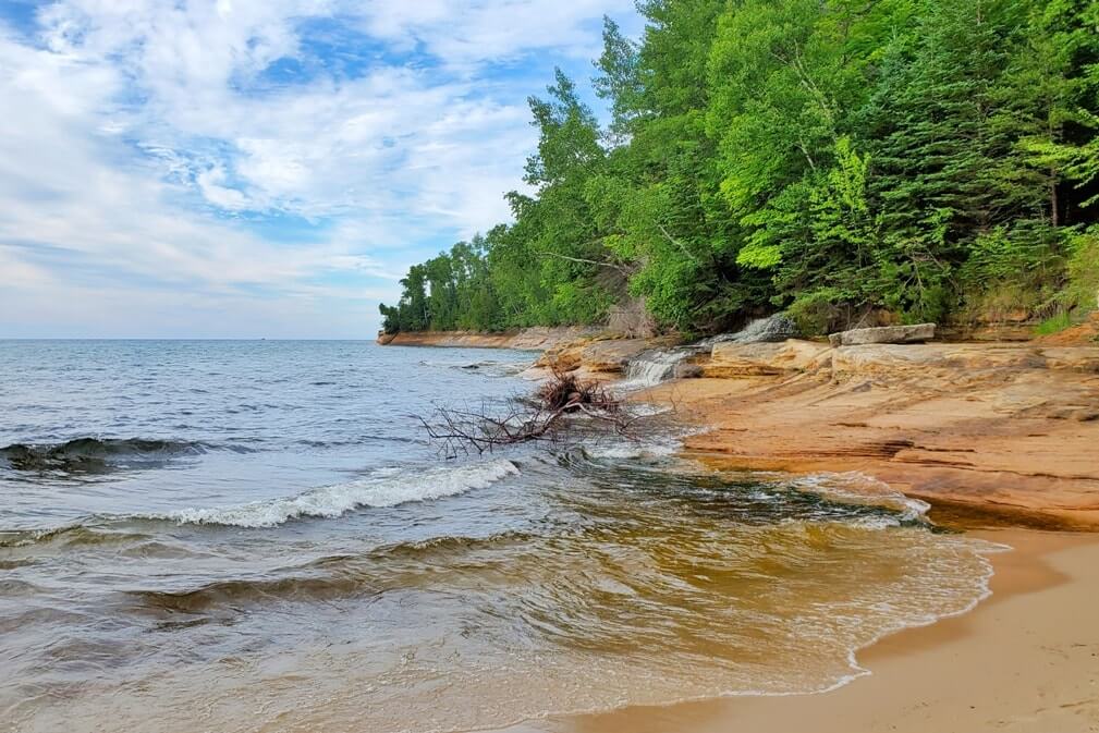
These waterfalls may also be called the Miners Beach Falls.
You can either make it a beach walk by walking directly on the beach to the east end of Miners Beach (right side as you’re face the lake). Or there’s a hiking trail that’s runs a bit higher up, and you can make it a hike from above with Lake Superior views!
7. Chapel Falls
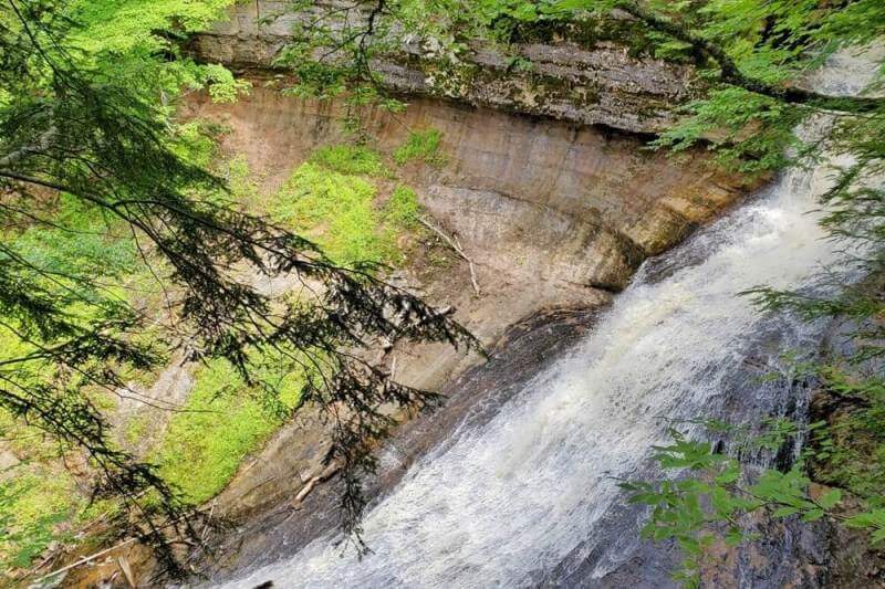
You can take the trail to see Chapel Falls, and then you can go further where you can walk along a creek, see smaller waterfalls, and there’s also another overlook of Chapel Falls that gives you views of the waterfalls from a distance.
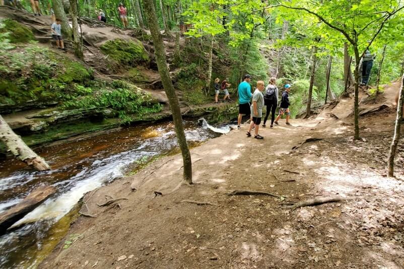
See more about Chapel Falls.
This can be a hike with a few things to see if you go further than the waterfalls! (Next up on the list!)
8. Chapel Rock
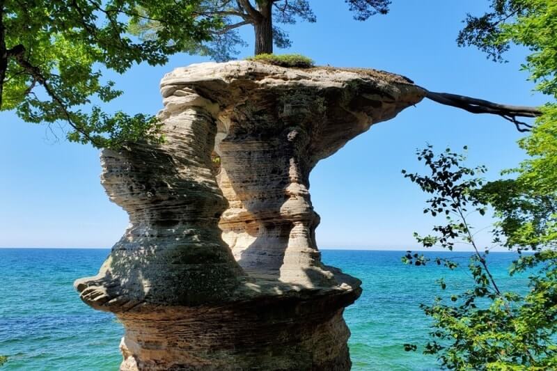
This is another unique geological formation. It’s a tree growing on a rock! There are Pictured Rocks boat tours that go by this so you can see it from the water.
You can also hike to Chapel Rock to see it up close and personal. You will continue following the Chapel Falls Trail past the waterfalls to the shoreline.
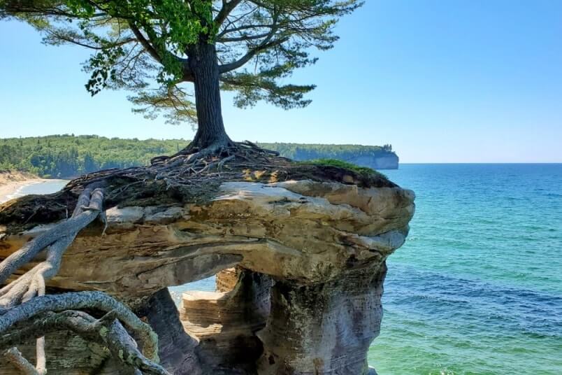
See more about the Chapel Rock hike.
9. Chapel Beach
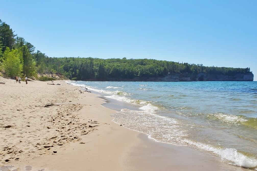
This is a popular sandy beach that you hike to get to.
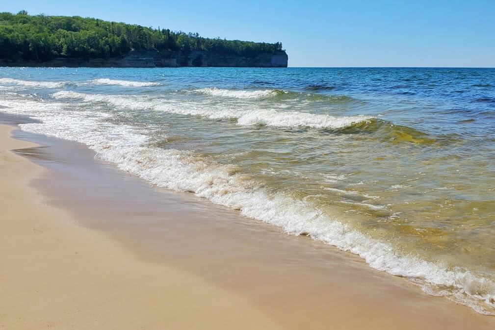
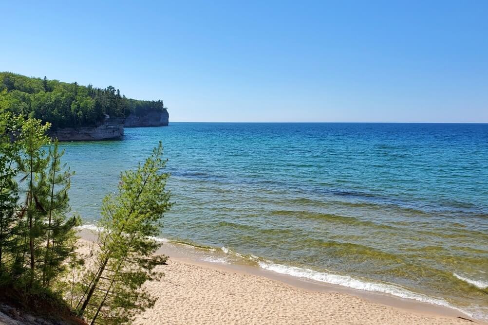
Once again the access to Chapel Beach can be Chapel Falls Trail. You go past further than Chapel Falls, and further past Chapel Rock, and you will reach Chapel Beach!
10. Chapel Beach Falls
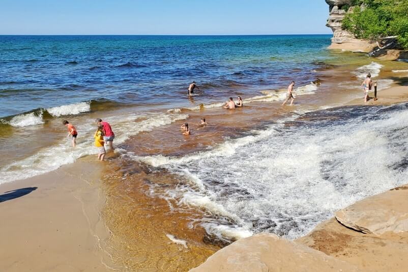
And then also notable at Chapel Beach is another spot in Pictured Rocks where you can see some small waterfalls flowing onto the beach, and flowing into Lake Superior!
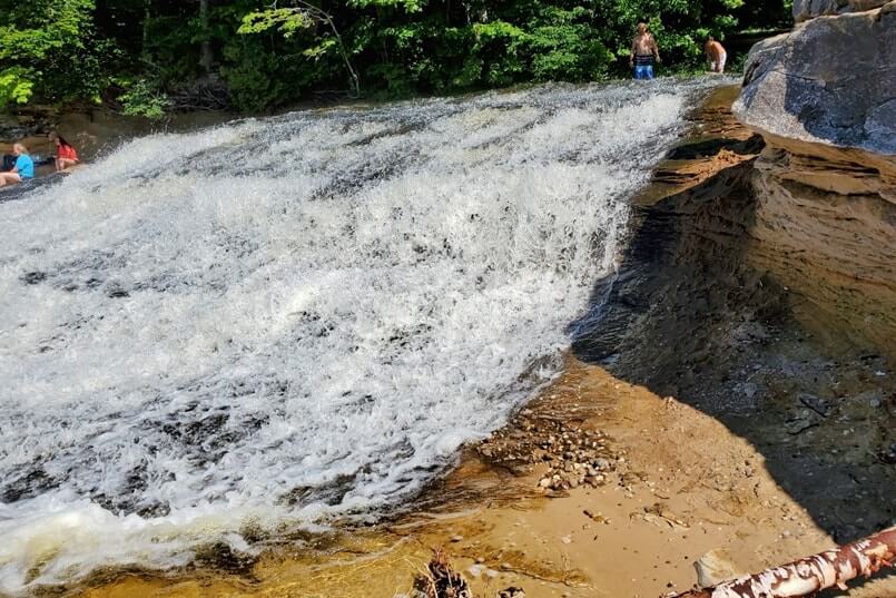
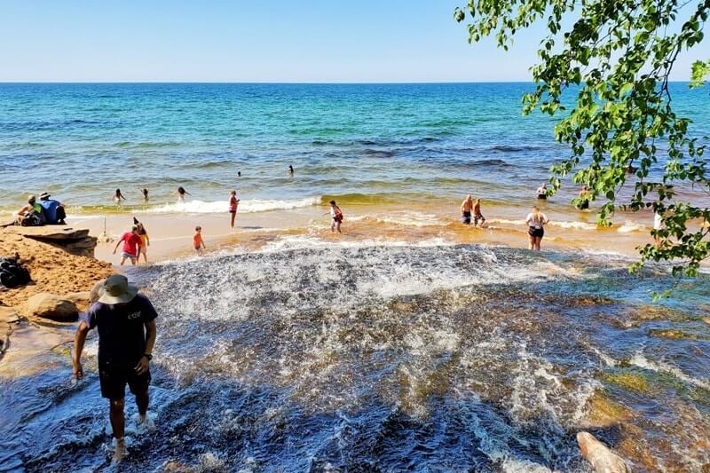
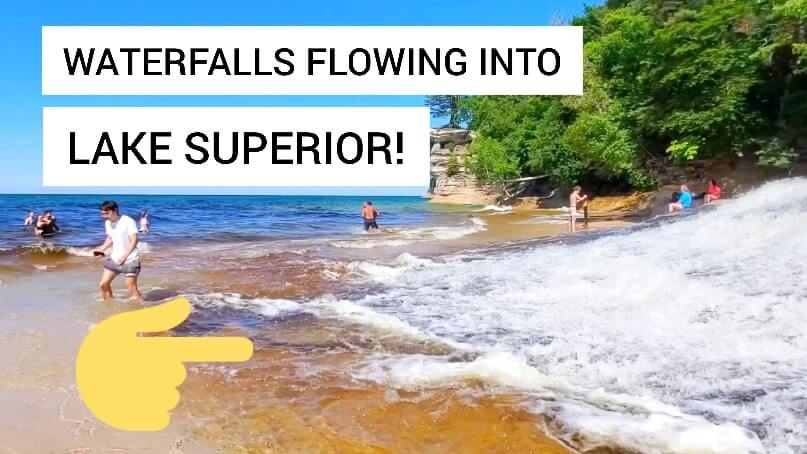
You’ll pass it shortly after you pass Chapel Rock.
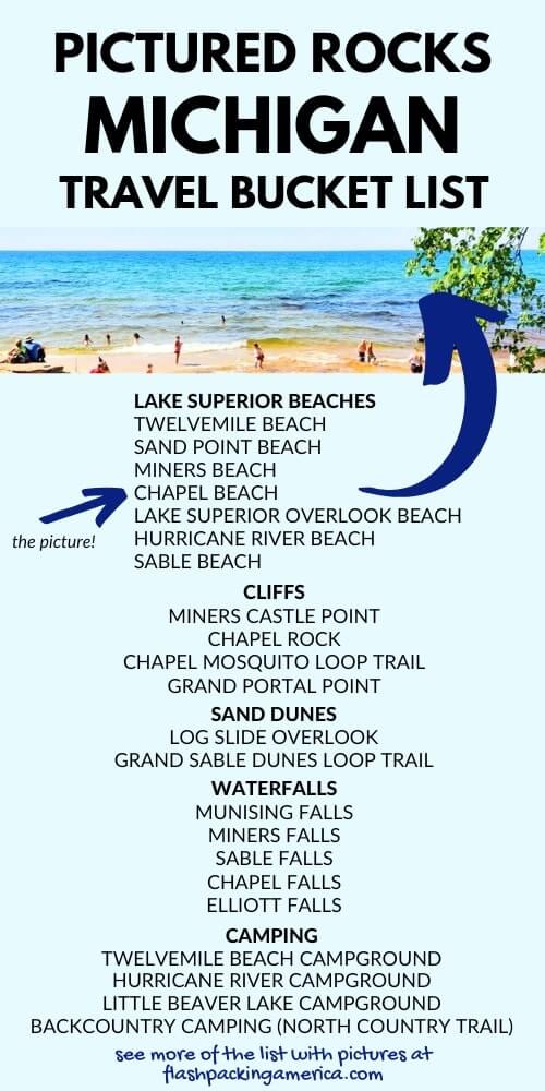
📌 Save this post for later! Save on Pinterest! 👈📌
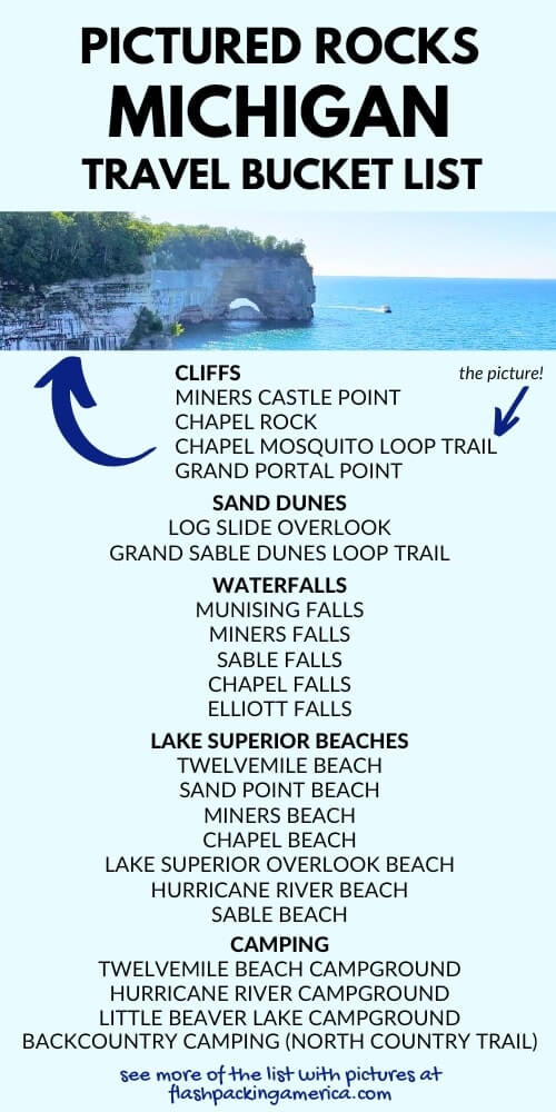
11. Chapel Loop Trail
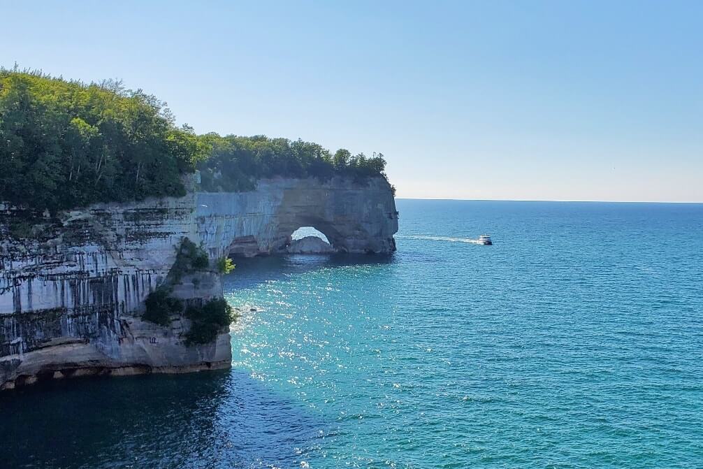
And then, you can continue walking further along past Chapel Beach to hike the Chapel Loop Trail. This is THE hike you want to do if you want to see the famous Pictured Rocks cliffs by foot. It’s said to be the ONLY hike that you can see the famous Pictured Rocks cliffs by foot.
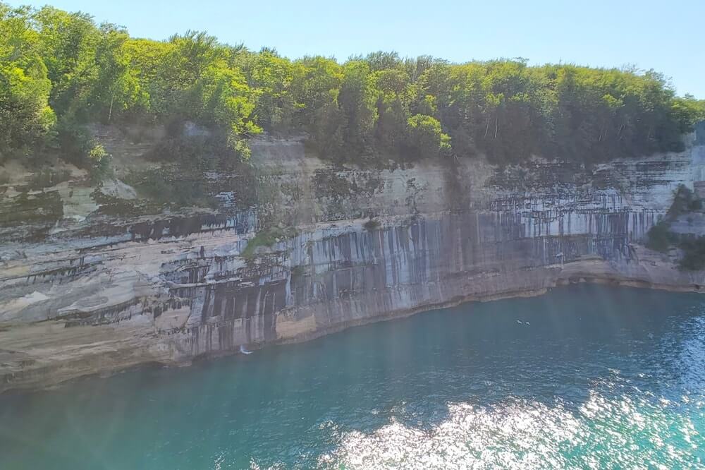
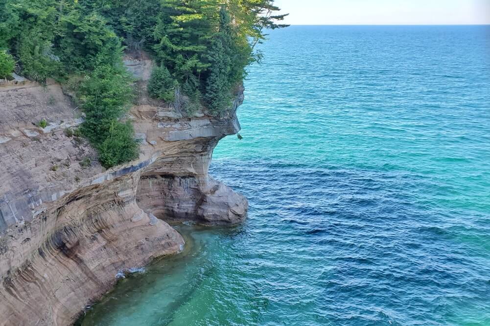
If you hike the loop, it will be around 9-10 miles total, possibly more as you’ll want to walk around in various areas too! (Like around beach, and the side trails along the cliffs.)
📌 Save this post for later! Save on Pinterest! 👈📌
12. Grand Portal Point
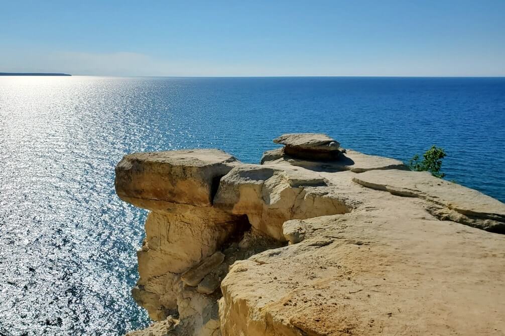
There are various spots along the Chapel Loop Trail that you can see the cliffs, but one of the notable landmarks is Grand Portal Point. This is another landmark that you can see by boat too.
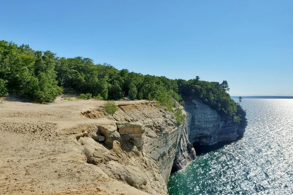
If you were to hike to Grand Portal Point and back (not as a loop) it would be around 9 miles round trip.
📌 Save this post for later! Save on Pinterest! 👈📌
13. Mosquito Beach
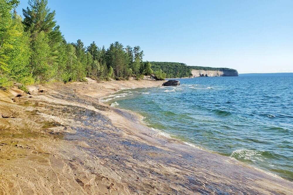
If you hike the Chapel Loop Trail, this will also take you past Mosquito Beach. (The trail is also sometimes called the Chapel – Mosquito Loop for this reason.)
This isn’t really a typical beach, but more so an area of sandstone. You might enjoy bringing a light picnic lunch and eating it out here. (The same goes for a lot of other places on this list!)
Mosquito Beach is located near Mosquito River.
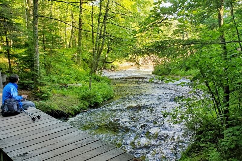
You can also hike directly to Mosquito Beach and back from the parking lot, not as a loop. This would be around 4 miles round trip.
14. Little Beaver campground
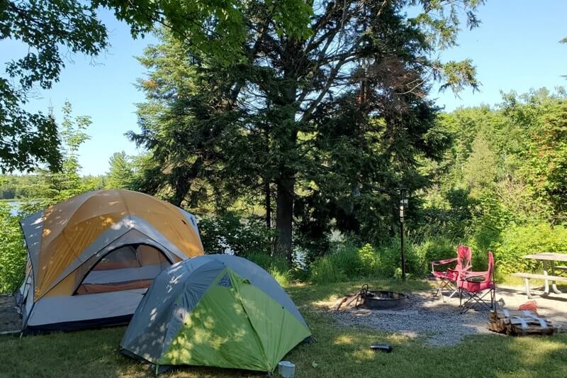
This is a quieter campground and a more secluded campground. There’s a bumpy road to get to it and limited campsites available. It sits right on an inland lake, Little Beaver Lake. You can hike to a Lake Superior beach from the campground, explained next on the list.
See more about Little Beaver Lake campground.
15. Big Star Cove
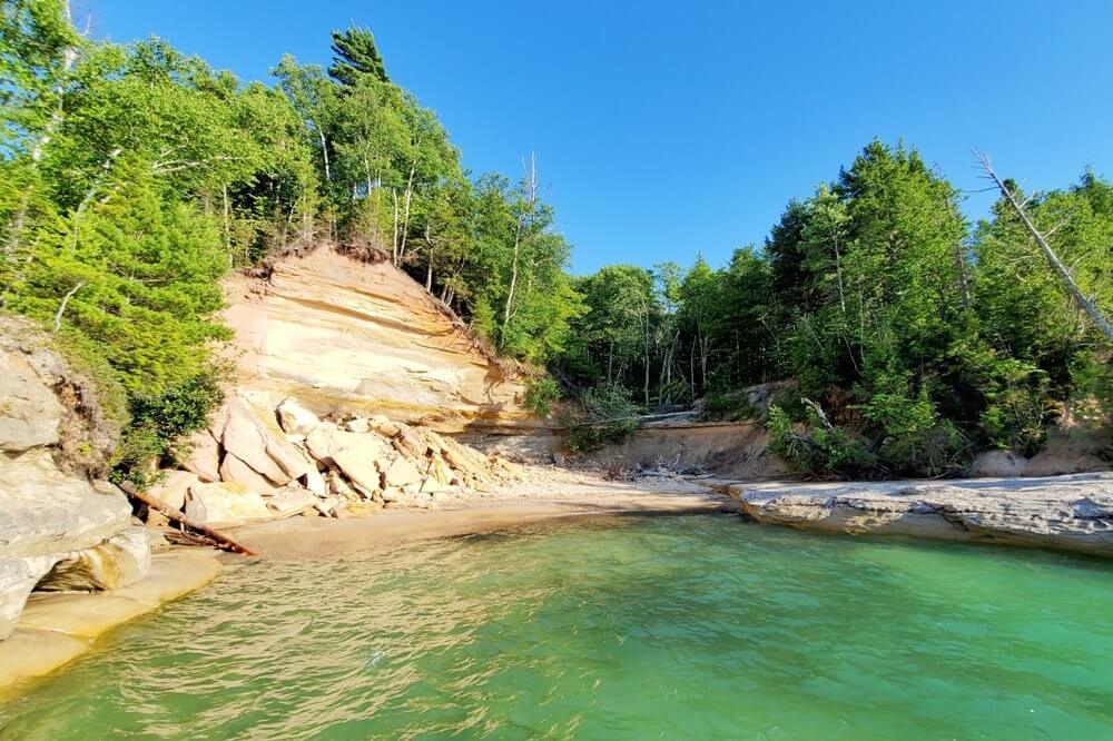
The only way to get to the Big Star Cove is to hike to it. You can access it from the Little Beaver campground. You’ll first hike to Lake Superior (where you can access a sandy beach) which is about 1.5 miles away, and then continue on the trail to the left as you’re facing the lake to come across Big Star Cove shortly after that. This is a spot in Pictured Rocks where you can basically see the impact of the crumbling cliffs.
If you’re looking to get away from the crowds, this is one hike to choose. You can call this an “off-beat” location. This would be a little over 3 miles round trip.
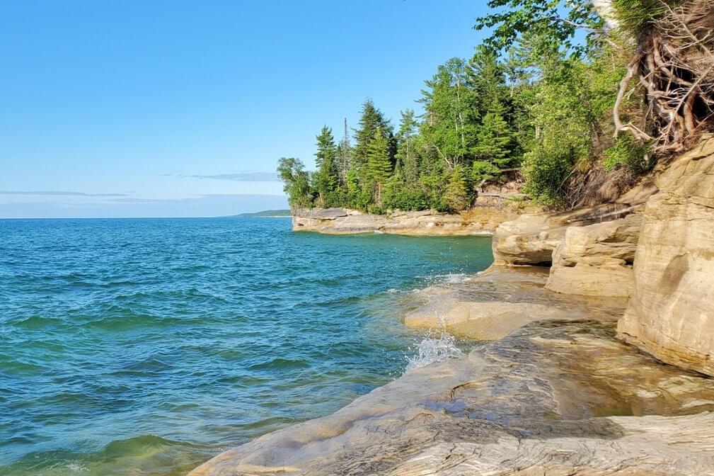
If you want to make it a longer hike, you can continue to hike further along the shoreline (map). This is also along the backpacking trail.
16. Spray Falls
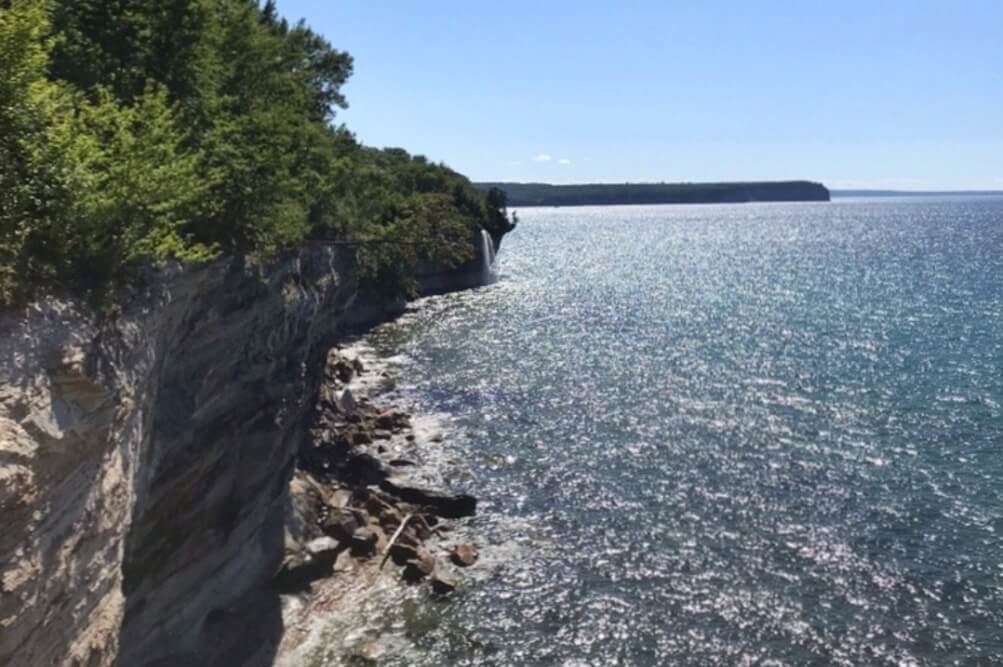
Spray Falls is said to be best seen from a boat, but you can see it a little off in the distance by hiking too.
Going further along past Big Star Cove, you will come to a spot where you can kind of see the famous Spray Falls. This would be around an 8 mile round trip hike. You can also hike to Spray Falls from the other side, which would go past Chapel Beach. That would be around 10 miles round trip.
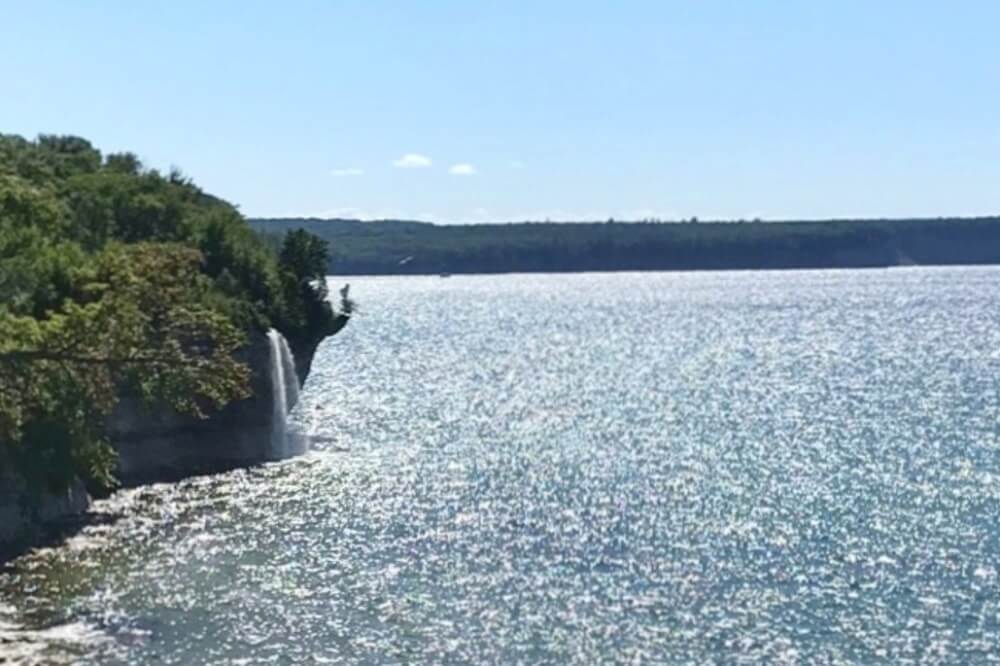
Do you see Spray Falls?! 😜
Driving to Pictured Rocks from Grand Marais
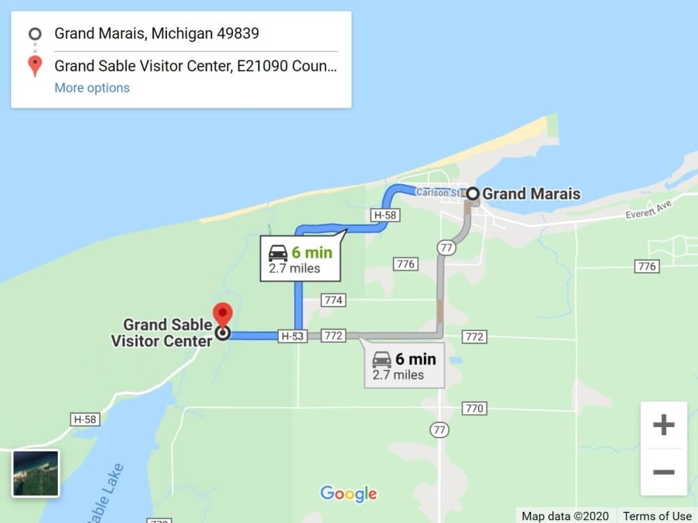
Map of Grand Marais to east entrance of Pictured Rocks National Lakeshore.
Okay, so now we are switching sides and switching directions.
This now will go in the order of east to west, so if you are entering Pictured Rocks from the Grand Marais side.
Your landmark for easy reference on this side can be the Grand Sable Visitor Center.
This is also the the side of Pictured Rocks that’s closest to Tahquamenon Falls and Whitefish Point. It can make sense to enter from this side after doing some eastern Upper Peninsula activities. On your way to Pictured Rocks, consider taking the slow scenic route and drive along the Grand Marais Truck Trail! This is a road that runs along Lake Superior, and you’ll find some shoreline access spots. It can make for a perfect stop!
See more about driving through Grand Marais to get to Pictured Rocks.
17. Sable Falls
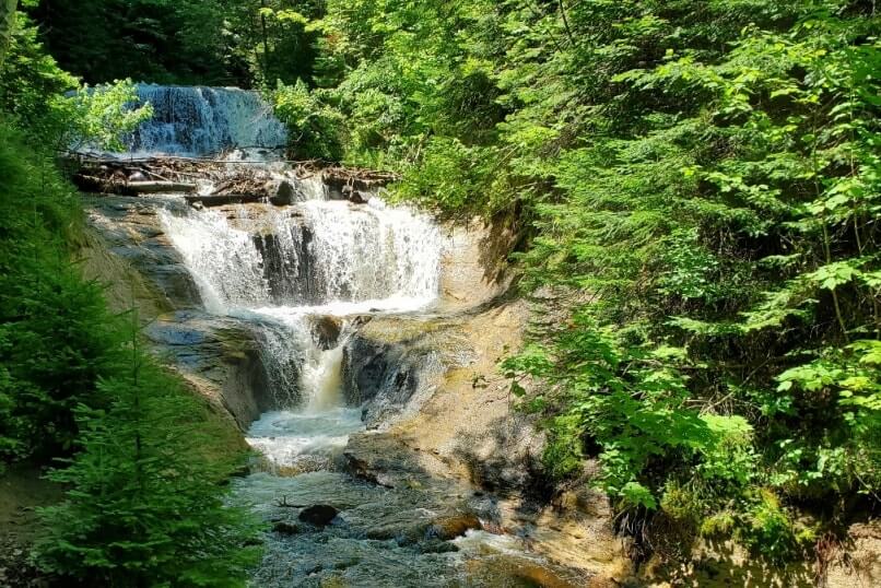
This is another relatively short hiking trail that will take you to see waterfalls.
18. Sable Falls Beach
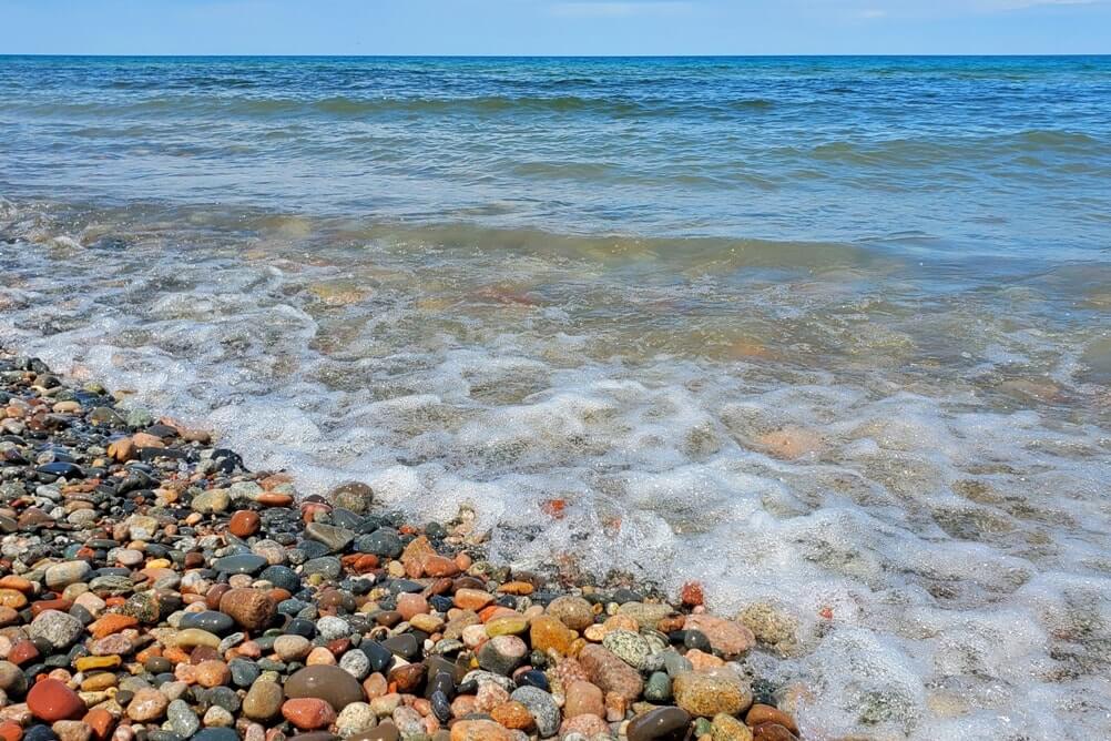
After you see Sable Falls, you can continue on the same trail to reach Sable Beach. You’ll be able to see some sand dunes here.
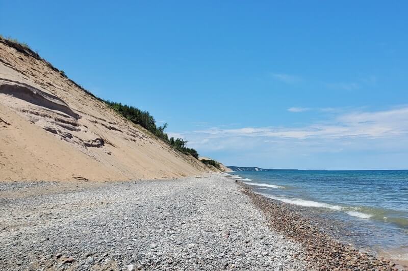
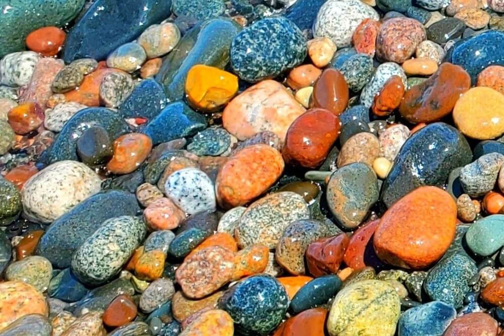
This is also where you can find colorful rocks. Look, but don’t take, though! As a part of the National Park Service, the beaches along Pictured Rocks are protected and you’re not supposed to take any rocks that are along the shores of the Pictured Rocks National Lakeshore. (If you’re looking for Lake Superior beaches with colorful rocks that don’t seem to have any such restrictions, try some of the Eastern UP beaches on this list or the Keweenaw Peninsula beaches on this list.)
See more about Sable Falls and Sable Falls Beach.

📌 Save this post for later! Save on Pinterest! 👈📌
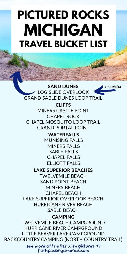
19. Grand Sable Dunes Loop Trail
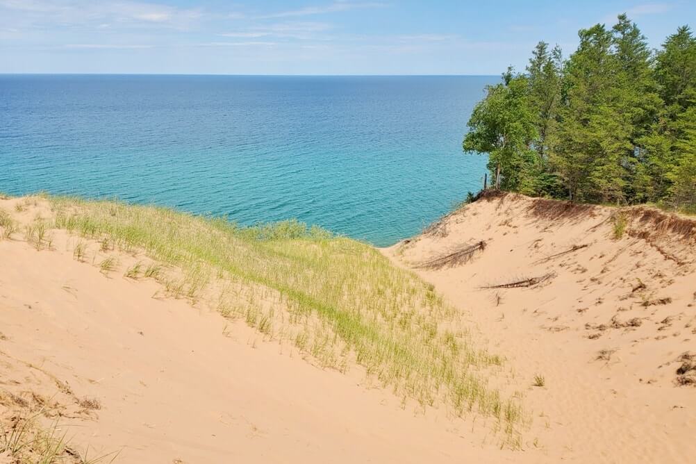
From near the start of the Sable Falls Trail, you can also access a spot to see some nice sand dunes!
20. Log Slide Overlook
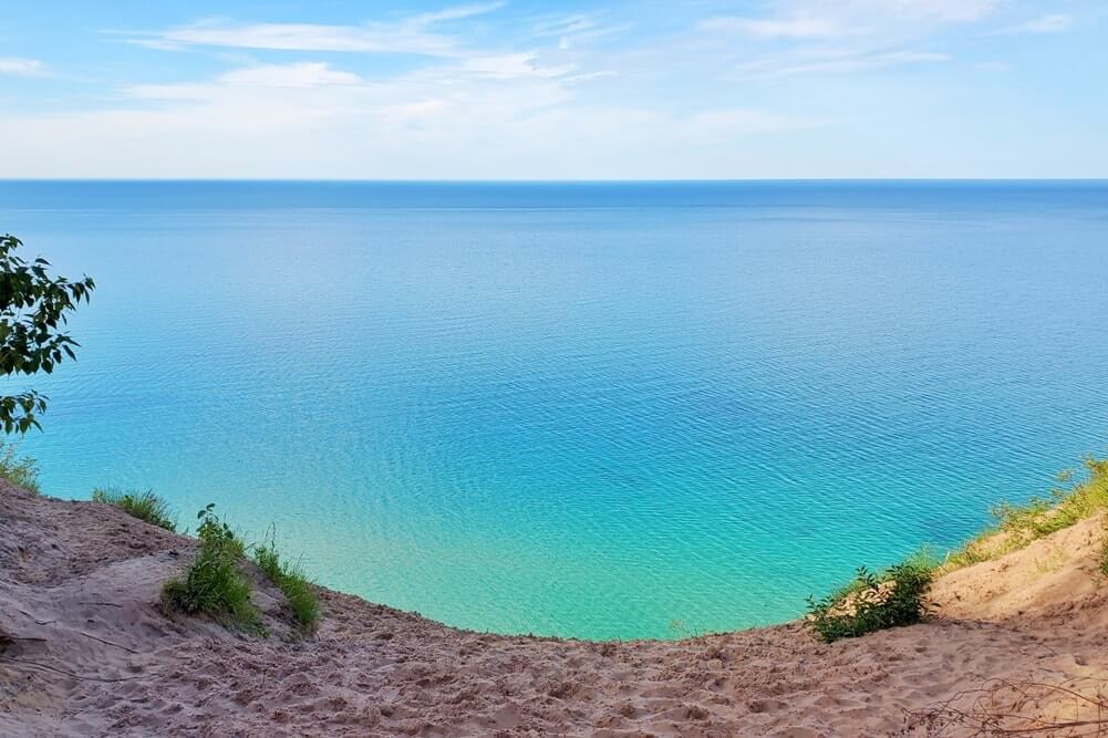
You can take a 5-10 minute or so walk from the parking lot to reach the Log Slide overlook. Here you can get great views of the Grand Sable Dunes.
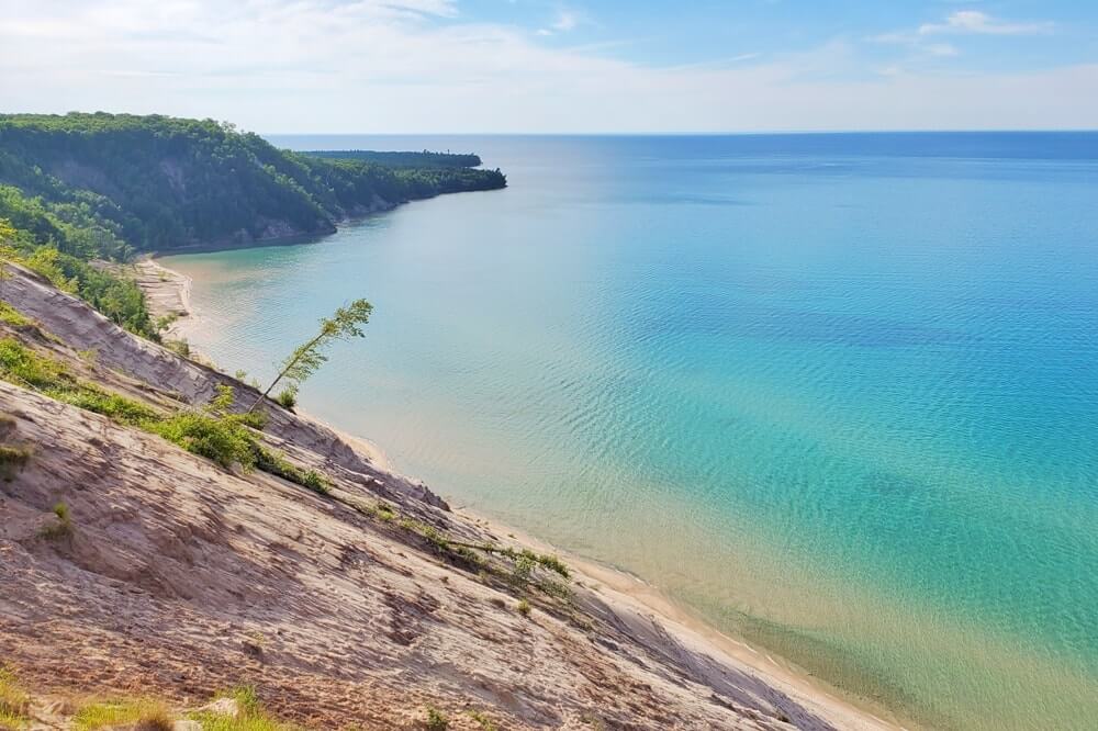
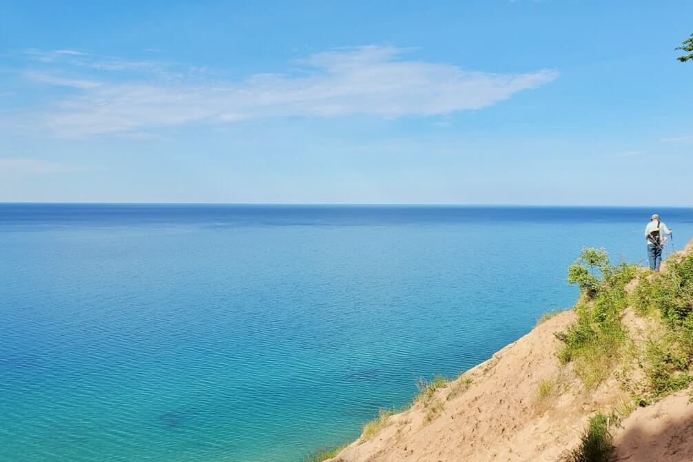
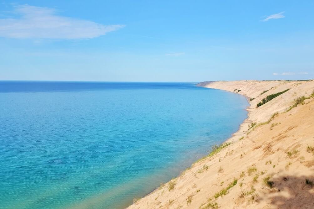
You can also make it a solid day hike to get to the Log Slide overlook and have this spot be your “destination”! (Explained next on the list.)
See more about the Log Slide overlook.
📌 Save this post for later! Save on Pinterest! 👈📌
21. Au Sable Lighthouse
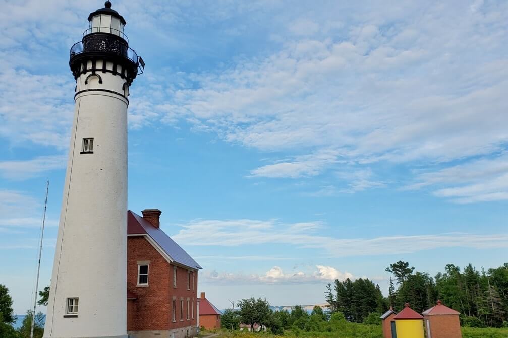
This is THE Pictured Rocks lighthouse.
The only way to get to it is to hike to it.
You can hike to the Au Sable Lighthouse from Hurricane River (around 3 miles round trip). Or you can hike to it from the Log Slide (a little less than 5 miles round trip from the parking lot).
If you’re looking for a solid day hike, you can also hike from Hurricane River to the Log Slide and back (passing by the lighthouse) and that would be around 8 miles round trip, a hiking trail that goes along the coastline a lot and comes with lots of lake views. And then you can also go in the opposite direction, going from the Log Slide to Hurricane River.
In 2020 you could not go inside any of the lighthouse buildings since it was closed due to public healthy concerns, but you could still walk around the lighthouse grounds. In the past, lighthouse tours were around $3. See here for updates when your travel date gets closer.
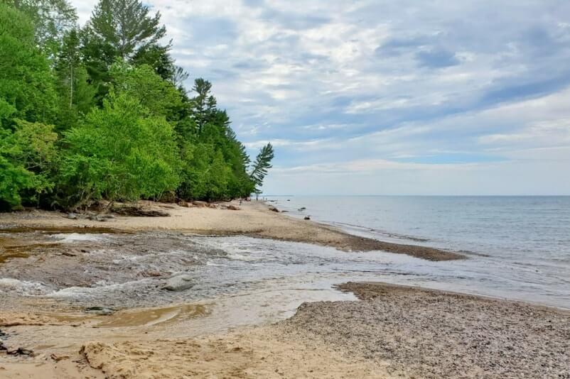
22. Hurricane River (and beach)
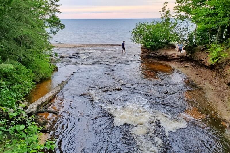
This is another river that’s special since it’s another river that empties out onto a beach and into Lake Superior! You can find some sandy beach here.
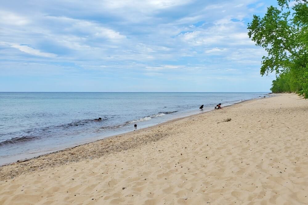
23. Hurricane River campground
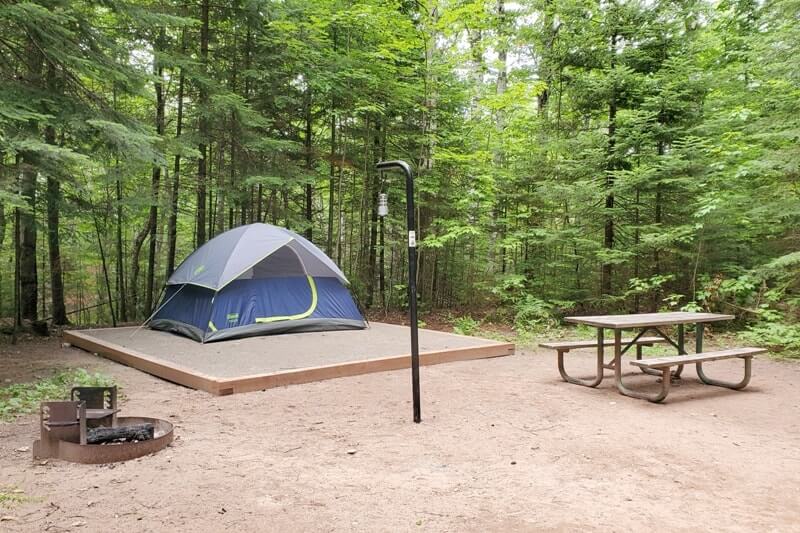
And right near the river is the campground. Actually there are 2. The lower Hurricane River campground and the upper Hurricane River campground.
The lower campground is closer to the beach and the hiking trail.
The upper campground is a tad inland and feels a bit more secluded. It’s a quarter of a mile from the beach and main hiking trail. There is a trail that connects the upper campground to the Hurricane River shoreline… or you can drive!
See more about the Hurricane River campground.
24. Lake Superior Overlook and beach
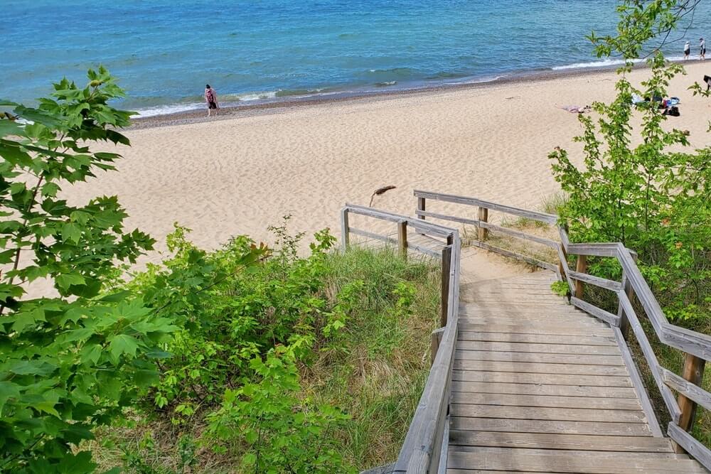
A wide sandy beach to visit.
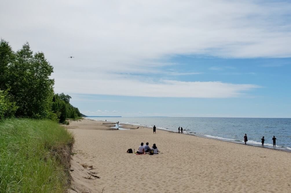
25. Twelvemile Beach
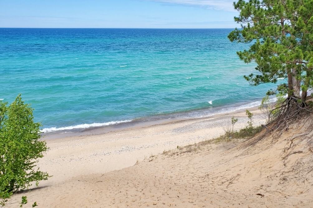
Another wide sandy beach to visit. This beach is… 12 miles long?! There is one main access point with a parking lot.
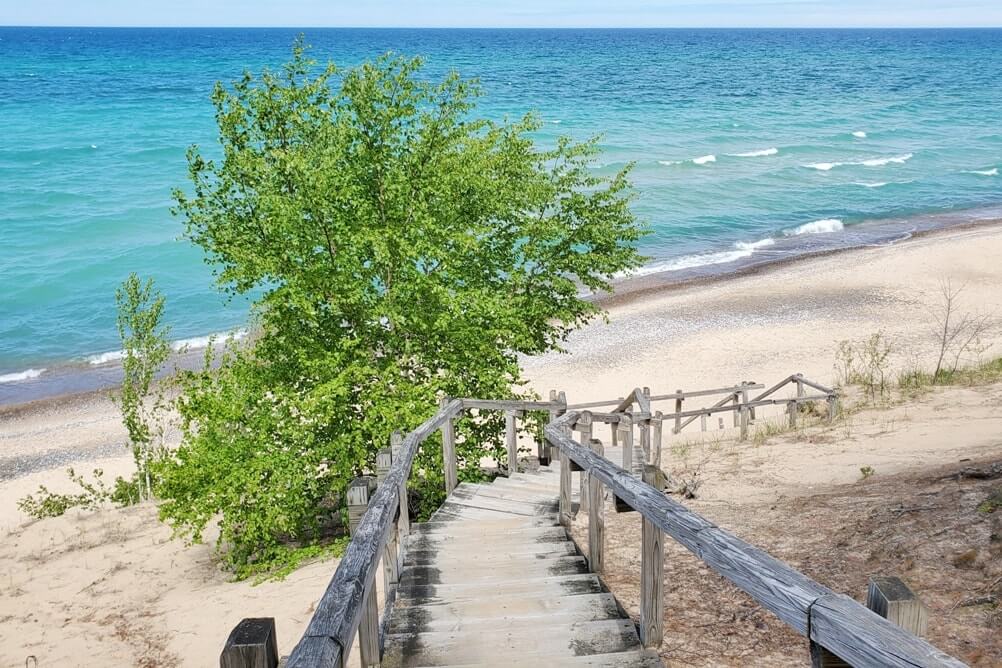

Aside from that, you can access more of Twelvemile Beach by foot too. There’s a hiking trail (the North Country Trail) that pretty much runs all along Twelvemile Beach with a number of backcountry campsites.
26. Twelvemile Beach campground
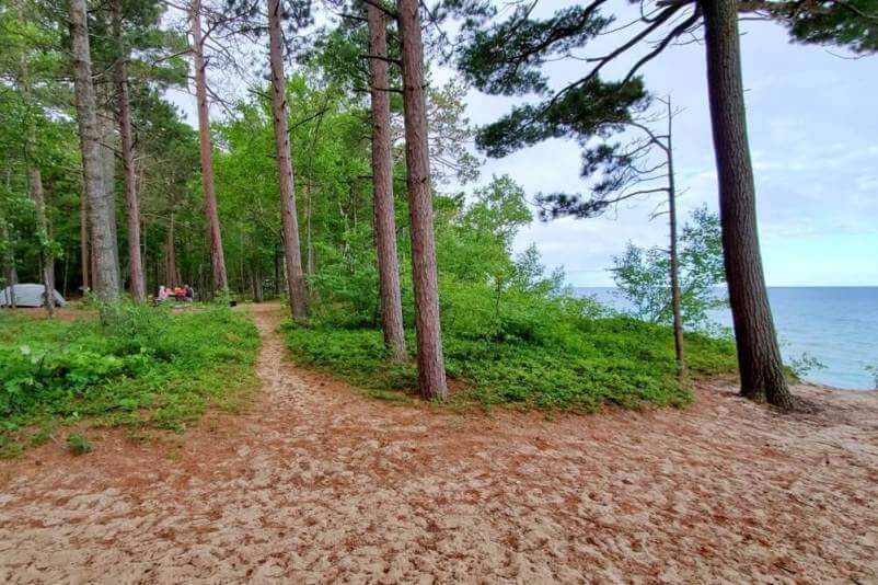
And possibly the best campground in Pictured Rocks! If you’re tent camping with a car or RV camping and looking for a campsite with lake views anyway! There are a ton of campsites where you can see Lake Superior right from your campsite!
And this is another way you can access Twelvemile Beach. You can find some beach access trails or sand dunes right behind some of the campsites.
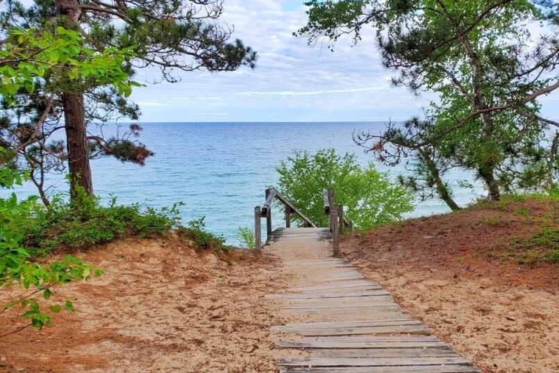
See more about the Twelvemile Beach campground.
How much time to spend in Pictured Rocks?
Take your pick and choose 2-3 activities on this list and you could have a perfect one day in Pictured Rocks!
Or, you could do ONLY the Chapel Loop Trail (that’s the Pictured Rocks cliff hike!) and you could leave Pictured Rocks thinking you had a perfect one day in Pictured Rocks National Lakeshore!
I did everything on the main part of this list (the 20+ Pictured Rocks activities) with 4 days in Pictured Rocks, with the exception of Spray Falls.
My brother hiked one way on the North Country Trail alone from the Twelvemile Beach campground to Little Beaver Lake campground (around 11 miles one way), with a “side trip” to somewhere around Spray Falls. (Spray Falls is past Little Beaver Lake when hiking from Twelvemile Beach.) We met back up at Little Beaver Lake campground in the evening. If you are into long hikes, he said this stretch of the North Country Trail was among his favorite parts of hiking in Pictured Rocks, by the way!
Even though I did not see the Pictured Rocks cliffs from the water (aka I didn’t do the popular Pictured Rocks boat cruise or Pictured Rocks kayaking), I still found my visit to Pictured Rocks worthwhile.
And so, there are many FREE things to do in Pictured Rocks, and there are many ways to make a trip to Pictured Rocks worth it, whether that’s one day in Pictured Rocks, or 2 days, or 3 days… or more! It just depends on what type of trip you want it to be!
What is Pictured Rocks famous for?
1. Miners Castle overlook
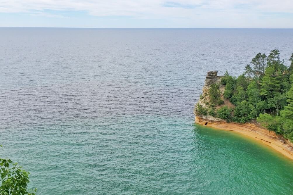
If you are not giving yourself much time, and you are on the Munising side of Pictured Rocks, then don’t miss Miners Castle! Walk 5-10 minutes to get to the overlook. The town of Munising is the side of the Pictured Rocks cliffs.
2. Log Slide overlook
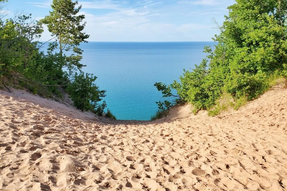
If you are not giving yourself much time, and you are on the Grand Marais side of Pictured Rocks, then don’t miss the Log Slide! Walk around 10 minutes to get to the overlook. The town of Grand Marais is the side of the Pictured Rocks sand dunes.
3. Pictured Rocks cliffs!
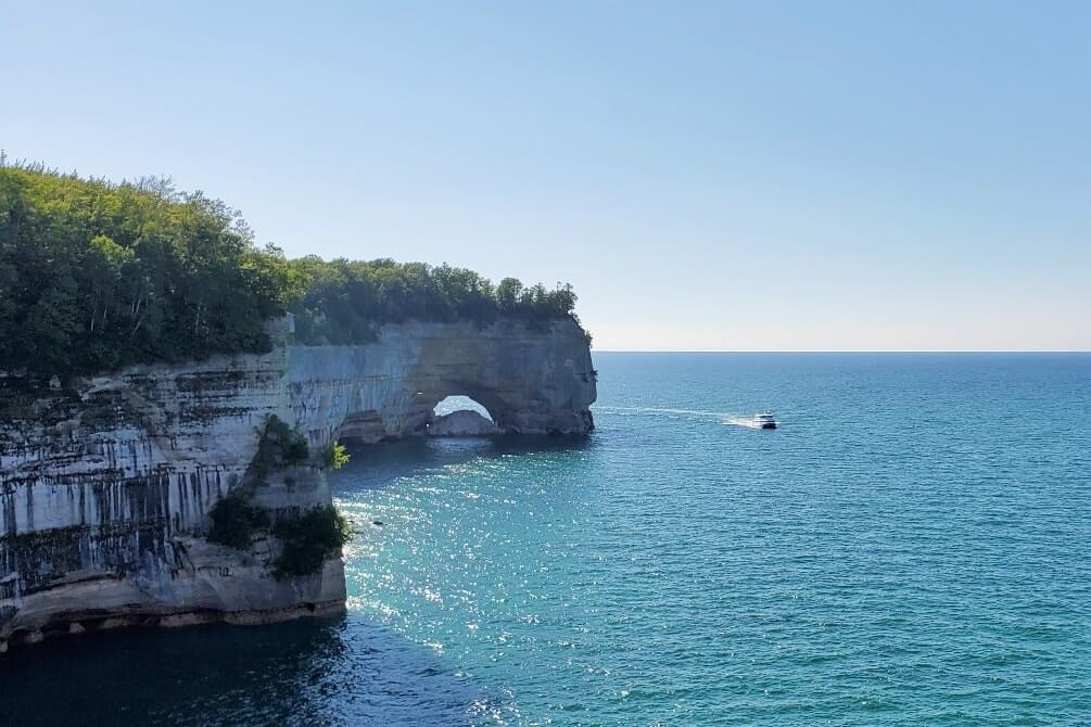
The cliffs are what makes Pictured Rocks famous. There are a few different ways to see the Pictured Rocks cliffs. Each option requires a time commitment of a couple of hours at least. The best way to see Pictured Rocks can be by boat, by kayak, or by foot! It depends on your preference!
You can take a Pictured Rocks boat cruise to see the cliffs!
You can take a Pictured Rocks kayak tour to see the cliffs!
You can hike to see the Pictured Rocks cliffs!
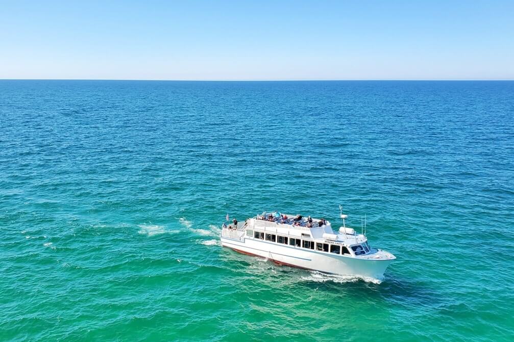


So those are the very top things you must consider when you’re going to Pictured Rocks.
There is a list of more activities below that includes beaches, waterfalls, and even a lighthouse. There are also ideas to get you started on hiking, camping, swimming, and even scuba diving in Pictured Rocks.
Share the video.
How did the Pictured Rocks shoreline on Lake Superior come to be?
In short, it has to do with glaciers, ice sheets, the changing of water levels, rough waves, and erosion throughout the very ancient years.
The Pictured Rocks shoreline continues to change today for some of the same reasons of water levels, crashing waves, and erosion.
In recent years, there have been sightings of large chunks of rocks falling into the lake. (For example, news story and video.) The Pictured Rocks cliffs most recently crumbled into Lake Superior in June 2021. This is said to have happened to the cliffs between Miners Beach and Mosquito Beach: VIDEO. This is another example of how unstable the edges of the cliffs can be… so don’t get too close to the edge when you are hiking!
You can also see evidence of eroding cliffs and dunes in places as you are exploring the Lake Superior coastline in Pictured Rocks.
Read more about the Pictured Rocks geology (pdf) from the State of Michigan.
Drive-in camping in Pictured Rocks

Another top thing to consider at Pictured Rocks is camping. There’s tent camping and RV camping available. Campgrounds get booked up, so better to book sooner rather than later.
Drive-in camping is also called “frontcountry” camping, meaning you can drive straight up to your campsite and set up camp.
None of the campgrounds have any “modern” amenities. This means that there are basic no-flush toilets, and there are no showers.
There are 3 frontcountry campgrounds in Pictured Rocks.
If your Michigan road trip will take you to other parts of the UP, also see some more camping spots near Lake Superior.
Backcountry camping in Pictured Rocks

Backpacking in Pictured Rocks is a thing. This means overnight hiking and camping trips. There are areas that you can hike for miles with lake views!


The North Country Trail is a hiking trail (backpacking trail) that goes for 4,700 miles from the midwest to the east coast.
And yes, this North Country Trail goes right through Pictured Rocks!

So you can make your North Country Trail backpacking trip exclusively in Pictured Rocks too.

When doing an overnight trip, it’s recommended that you take a shuttle to your starting point, and then hike to your car.
Be sure to read through everything there is to know about backcountry camping in Pictured Rocks. Backcountry campsites also do get booked up ahead of time so early planning is important!
You book your Pictured Rocks campsite (both frontcountry and backcountry) through the official national park camping reservation website.
If you’re not into overnight hiking, you don’t have to miss out on the North Country Trail! You can hike sections of the North Country Trail as day hikes too.
Bears in Pictured Rocks

According to the State of Michigan:
Approximately 15,000 – 19,000 black bears (including cubs) roam the hardwood and conifer forests of northern Michigan.
About 90 percent of the bear live in the Upper Peninsula, while the remaining ten percent are mainly found in the northern Lower Peninsula.
Pictured Rocks is bear country.
You may come across a “bear cam” (bear camera) when you are in Pictured Rocks National Lakeshore.

If you’re tent camping with your car, leave all food and scented items in your car. At backcountry campsites, there are food storage areas so you can keep items that might attract bears away from you.
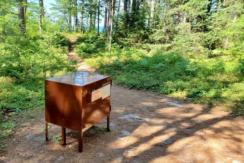
You will also find “bearproof” trash cans all over the park.
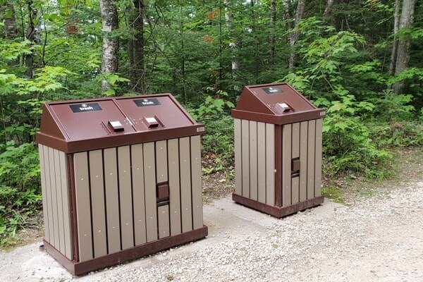

It’s important for everyone to do their part in taking care not to leave trash around. It takes an effort from everyone who visits Pictured Rocks to keep it so that bears do not associate humans with food. This means that it takes an effort from everyone to keep it so that bears are not a major threat to humans. So please, take care!

“A fed bear is a dead bear.” If bears start to recognize human food as bear food, they can become a serious threat to humans – to you! If that happens, a bear may have to be put to rest for good. This is why it’s said to be important that everyone does their part to pick up after themselves.
See the pdf of how to keep bears away. Read more about hiking and camping with bears in national parks.
Swimming in Pictured Rocks?!

Pictured Rocks National Lakeshore has many Lake Superior beaches.
But…
Does Pictured Rocks have beaches for swimming?
Well… that is up to you and your tolerance for cold water! 😉
The short answer is yes, there are beaches that can be deemed relatively safe for swimming in Pictured Rocks in the summer.
The waters off of Pictured Rocks never really warm up any time of the year, and even in summer Lake Superior can be cold.
Still, there are people who get in the water to swim while they are at Pictured Rocks!
You might be considered lucky if the water temperature is in the mid-60s when you’re there. That can be considered “warm” for Lake Superior.
According to the National Park Service:
Shoreline water temperatures in summer usually range from the upper 50s to the upper 60s.
Some years it can reach 70 degrees by mid-August in Munising Bay.
There are NO lifeguards anywhere on the beaches in Pictured Rocks National Lakeshore.
Also know that Lake Superior in some ways can act like an ocean. Rip currents exist.
Take care when swimming!
Scuba diving in Pictured Rocks
Also, there are also tons of shipwrecks in Lake Superior.
And although Pictured Rocks isn’t considered the most dangerous area of Lake Superior, even along Pictured Rocks was said to be called “Graveyard Coast.”

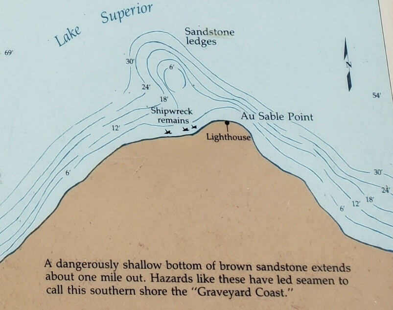
You can explore some shipwrecks along the Pictured Rocks shoreline too.


Snorkeling and scuba diving is a thing in Lake Superior, and there is also the Alger Underwater Preserve that is located off the shores of Pictured Rocks.
According to the National Park Service:
Some of the best scuba diving in the Midwest can be found in and around Pictured Rocks National Lakeshore.
Snorkeling and scuba diving are permitted throughout the park.
See more (pdf) about what you can find scuba diving in Pictured Rocks.
If you’re interested in Great Lakes shipwrecks, then you may also want to visit Whitefish Point aka the Graveyard of Lake Superior when you’re in the eastern UP. (That could be called the most dangerous area of Lake Superior.)
This is located around 2 hours from Pictured Rocks.
Cost to visit Pictured Rocks National Lakeshore
The cost to visit Pictured Rocks in 2023 is $20 per car. This will get you a 7-day Pictured Rocks national park pass. (There is no one-day Pictured Rocks pass.)
Confirm current Pictured Rocks fees.
You can buy a Pictured Rocks national park pass at a Pictured Rocks visitor center when you arrive, or you can buy it online at recreation.gov before you go.
If you will also be visiting other national parks that have entry fees, then you may want to look into getting an annual national park pass aka the America the Beautiful pass!
This annual national park pass will also be accepted at Sleeping Bear Dunes National Lakeshore.
Other popular national parks “near” Michigan include Mammoth Cave National Park in Kentucky and Great Smoky Mountains National Park in Tennessee and North Carolina, but these parks do not have a national park entry fee.
If you have several more weeks to spare in the summer or fall, you can make use of the America the Beautiful national park pass by driving out to Yellowstone National Park!
You can go to national parks in Wyoming and national parks in South Dakota, and you could even add on a national park in North Dakota and/or a national park site in Idaho! See how I did the drive from Chicago to Yellowstone.
If you are a senior, there is also an annual national park pass for seniors that will be worth it even if you only visit Pictured Rocks National Lakeshore! It’s $20! See current fees under America the Beautiful passes.
According to the National Park Service:
To access Pictured Rocks National Lakeshore, you must possess and display a Pictured Rocks 7-Day or Annual Entrance Pass OR an America the Beautiful Pass (Annual, Military, Fourth Grade, Senior, or Volunteer).
If you already have an America the Beautiful Pass, you do not need to buy a separate Pictured Rocks Entrance Pass!
And those are some ideas on how to spend a few days in Pictured Rocks!
National lakeshores in the US
There are 3 national lakeshores in the United States, designated by the U.S. National Park Service. These are all located on the Great Lakes:
- Pictured Rocks National Lakeshore (Lake Superior, Michigan)
- Sleeping Bear Dunes National Lakeshore (Lake Michigan, Michigan)
- Apostle Islands National Lakeshore (Lake Superior, Wisconsin)
More for your trip to the UP beyond Pictured Rocks
If you’re interested in Pictured Rocks National Lakeshore, then you may also be interested in these things around the UP:
- Tahquamenon Falls State park (map)
- Kitch-iti-kipi (the bubbling big spring of Michigan!) (map)
- Presque Isle Park (map)
- Porcupine Mountains (map)
- Crisp Point Lighthouse (map)
- Bond Falls (map)
- Best places to visit in the Upper Peninsula (for VIEWS!)
PLUS more of Michigan: Things to do in Sleeping Bear Dunes National Lakeshore
PLUS beyond Michigan:
HAPPY VISIT TO PICTURED ROCKS AND LAKE SUPERIOR!


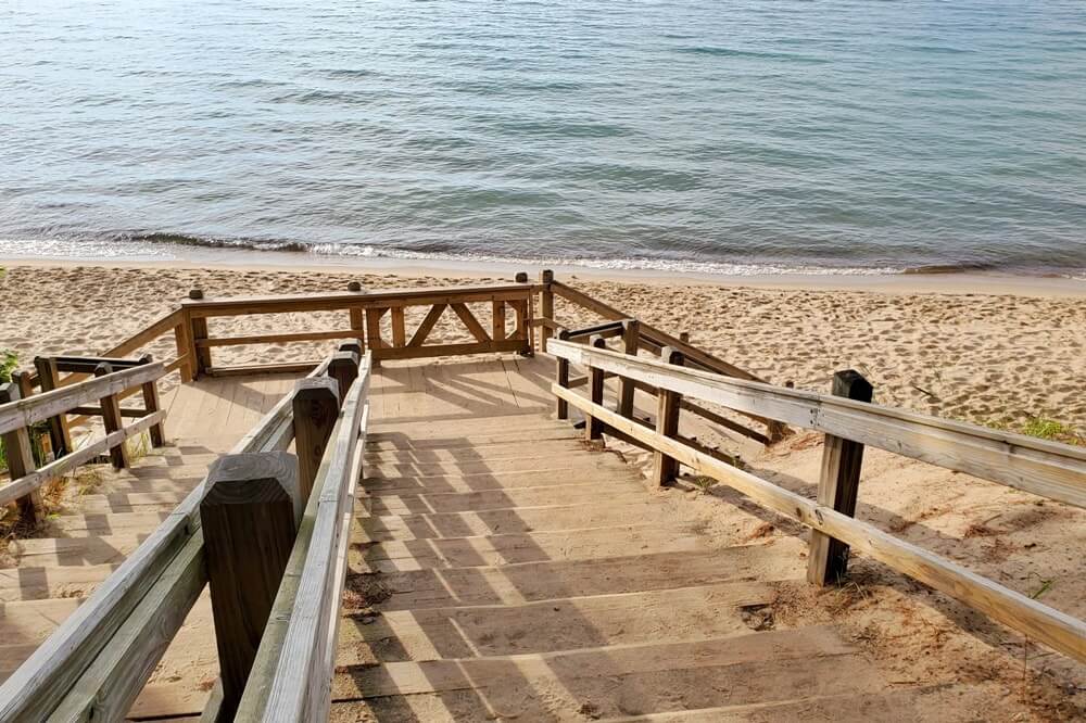




Top places to visit in Michigan:
- Sleeping Bear Dunes National Lakeshore
- Pictured Rocks National Lakeshore
- Upper Peninsula Michigan
- Porcupine Mountains Wilderness State Park
There are affiliate links on this page. I may earn a commission.
