
Hi there!
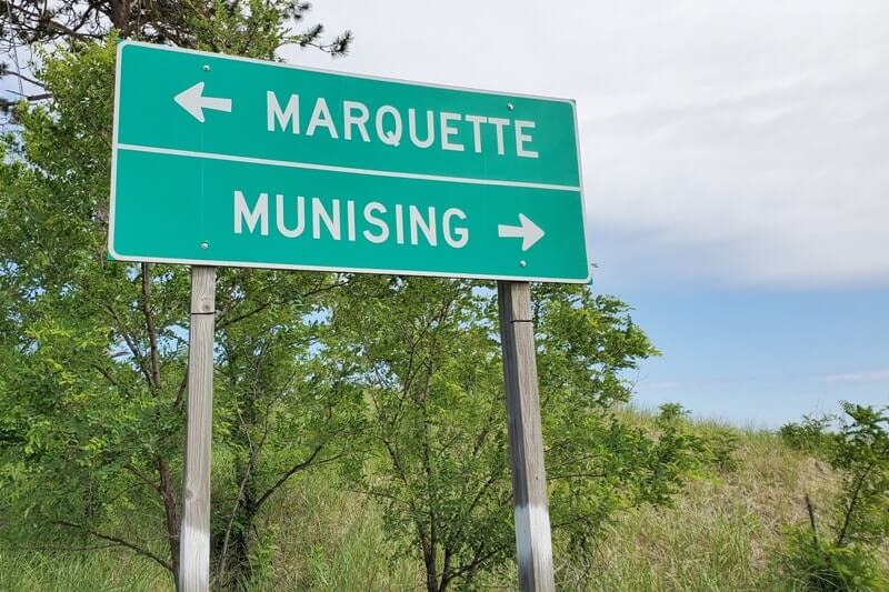
So you’re doing an Upper Peninsula road trip and you’re going from Pictured Rocks and the Munising area to Marquette!
Driving straight from Munising to Marquette is around a 45 minute drive.
But you can also make it a drive that takes all day if you make stops along the way!
Give yourself a full day to drive from Munising to Marquette, and you MIGHT be able to fit everything on this list in if you’re ambitious and you’re going for a jam-packed day!
In the summer, the sunrise in the Upper Peninsula can be around 6:30am and the sunset can be past 9:30pm! This means LOTS of daylight for LOTS of things!
I did a drive from Munising to Marquette and beyond when I was going from Pictured Rocks to the Keweenaw Peninsula.
Here are things you need to know about as you drive west to Marquette!
Driving from Marquette to Munising?! Start the list from the bottom up!

📌 Save this post for later! Save on Pinterest! 👈📌
1. Wagner Falls
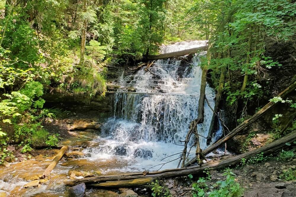
One of the many waterfalls you can see in the UP! This is a Michigan state scenic site.
See more about this stop: Wagner Falls
2. Alger Falls
These are roadside waterfalls. You can see them as you’re driving, and you can also stop to get out of the car to get closer to the waterfalls.
Another option can be to park at Wagner Falls and walk to Alger Falls from there. It will save you from having to park and drive off on a road with cars that are possible going 60+ mph. Note this also means that you will be crossing a road by foot in which cars are going very fast. Be careful!
See more about this stop: Alger Falls
3. Bay Furnace ruins
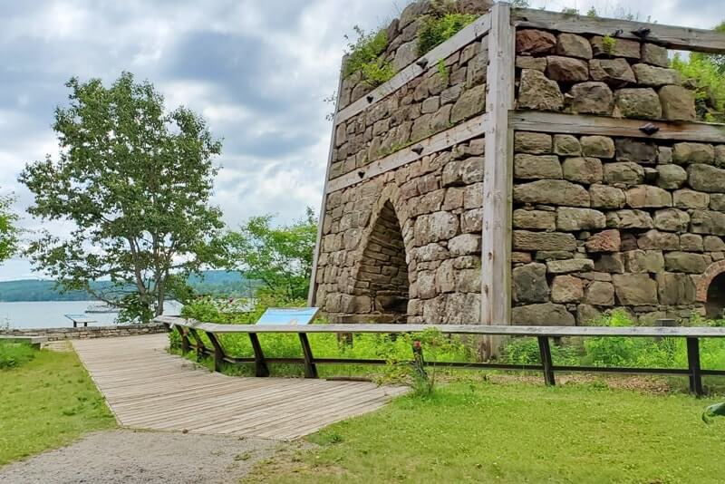
This is a historic site. You may be interested in stopping here if you like to learn about some Michigan’s iron history.
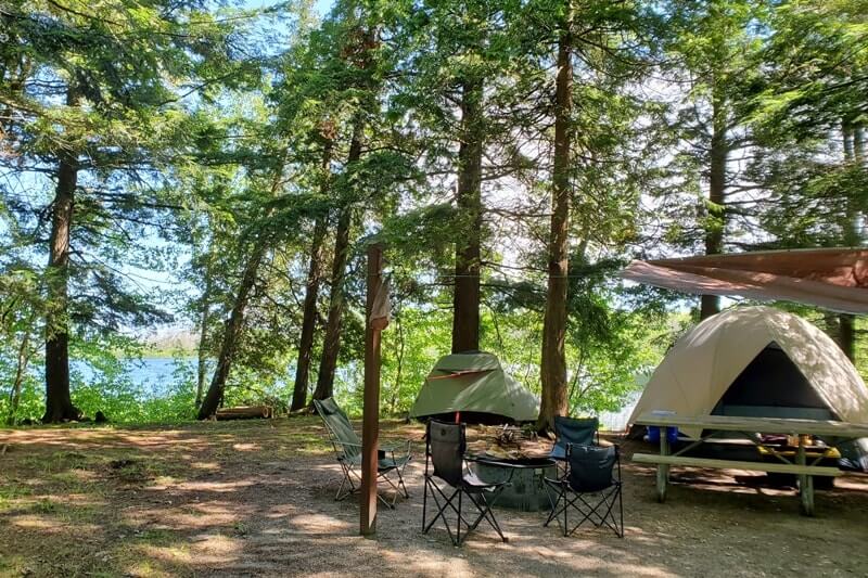
There’s also the Bay Furnace campground here that’s a part of Hiawatha National Forest that has campsites with lake views.
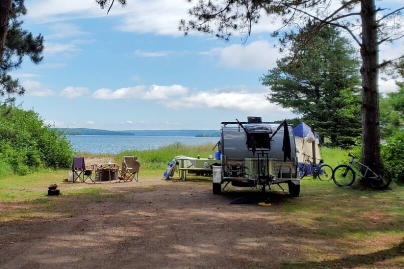
There’s also a nice day use area which can make for a nice picnic spot with Lake Superior views.
⚓
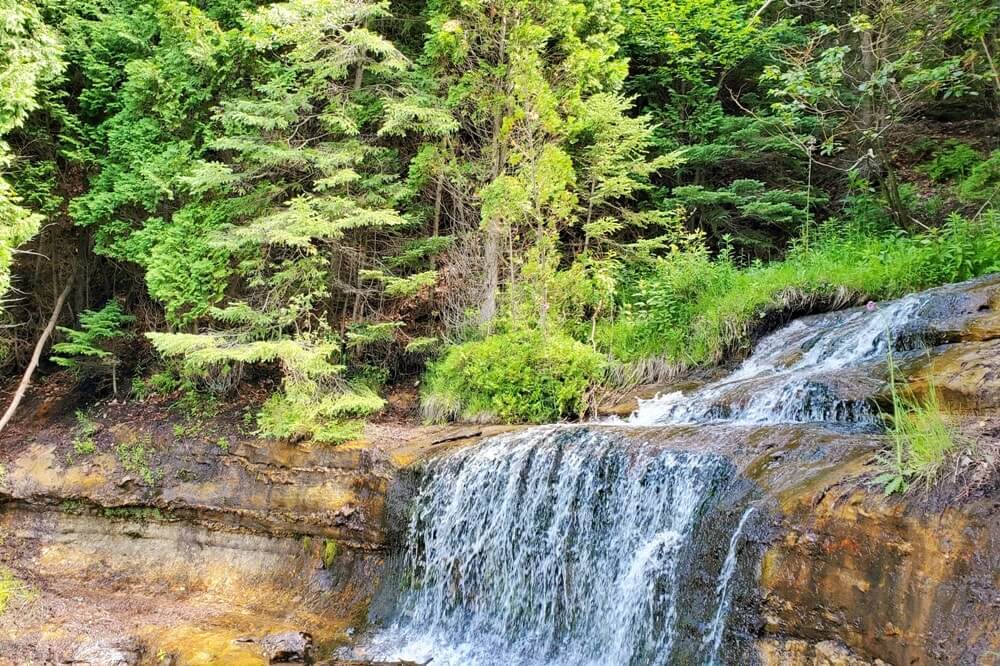
4. Scott Falls
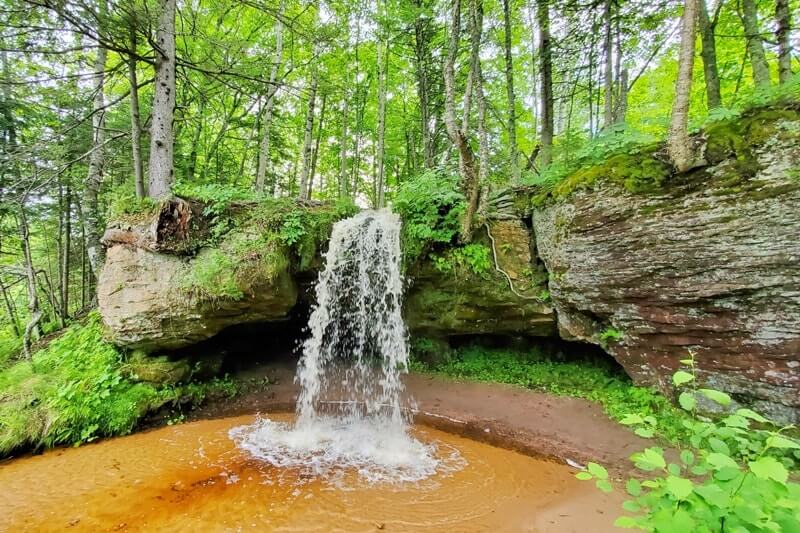
These are more roadside waterfalls. Once again, you can see them as you’re driving, and you can also stop to get out of the car to get closer to the waterfalls.
It might be a little muddy to get closer to them.
There’s a trail you can take to see the waterfalls from above, and you can also get behind the waterfalls too.
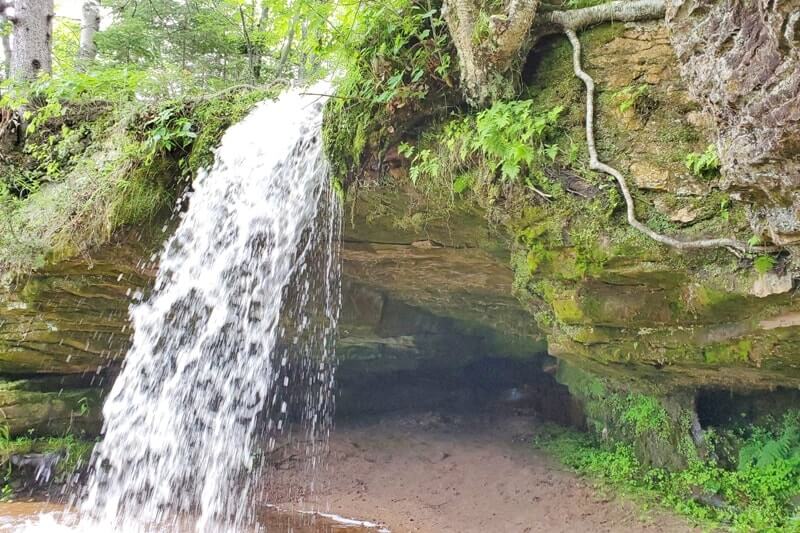
See more about this stop: Scott Falls
5. Hiawatha National Forest
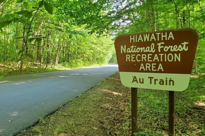
This isn’t necessarily a stop to make, but you will end up in the Hiawatha National Forest when you are driving in the UP.
You are likely to come across a bunch of national forest signs as you are driving.
The Hiawatha National Forest extends across a large part of the UP.
In some parts it basically covers north to south from Lake Superior to Lake Huron.
If you want to make it a little deeper into the Hiawatha Forest further than just driving through it on the highway, a stop to make near the Au Train Lake is the Songbird Trail for a quiet nature trail.
This is not really a “must-do” by any means, but a quiet stop you can make.
There is also a national forest campground in Au Train too, also with some campsites that are right on the lake.
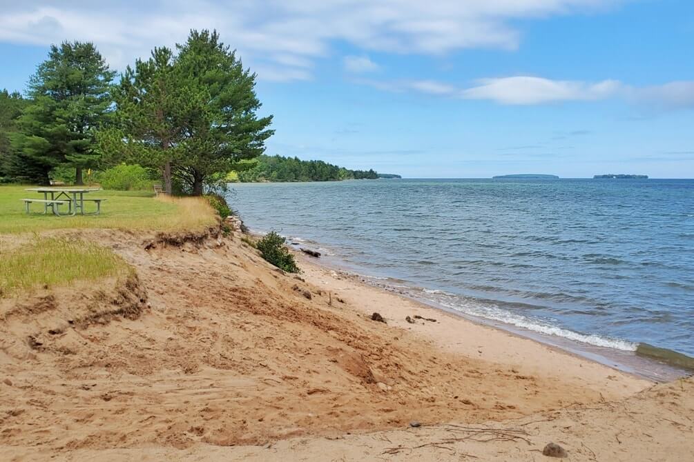
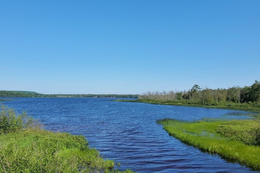
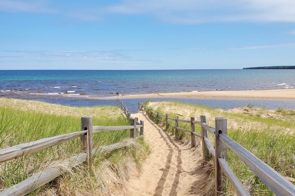
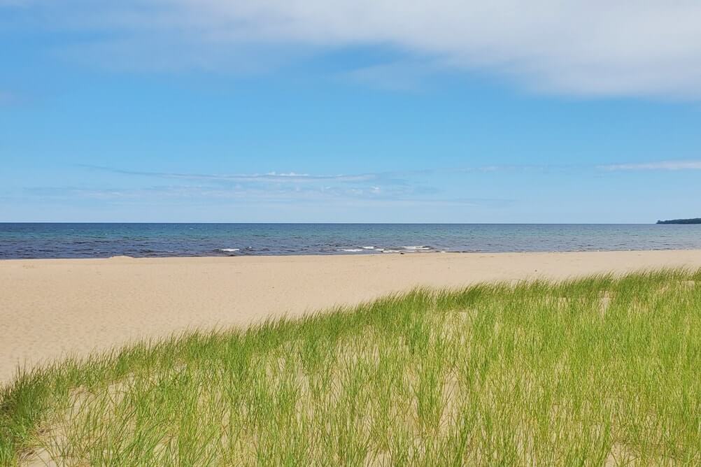
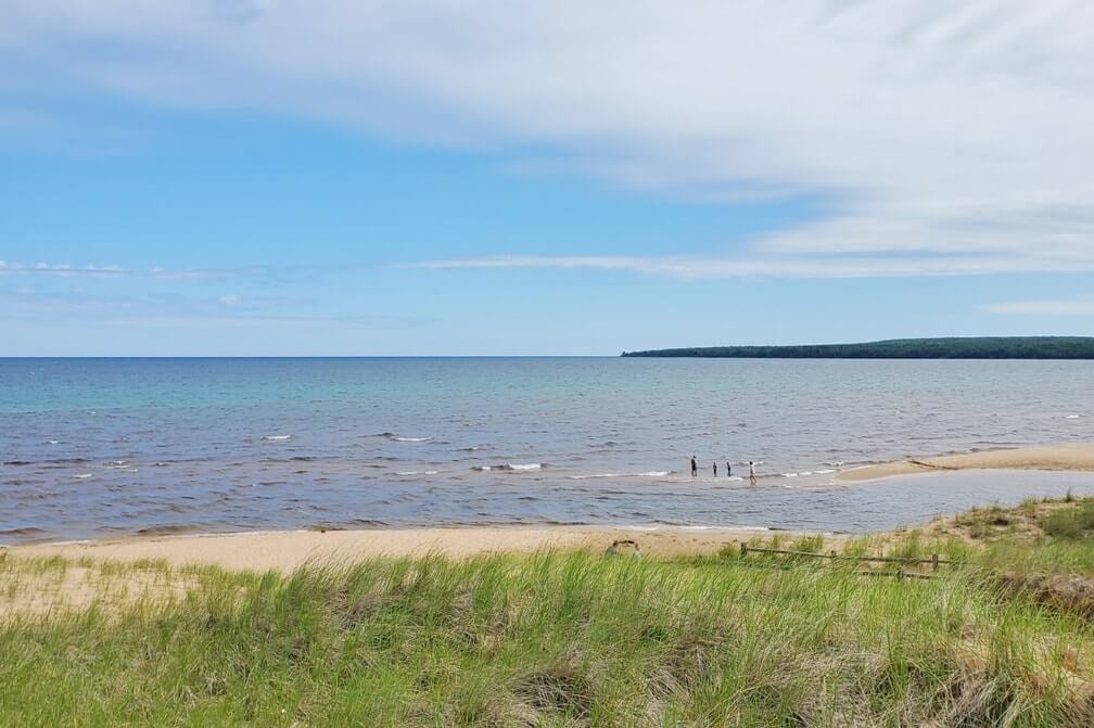
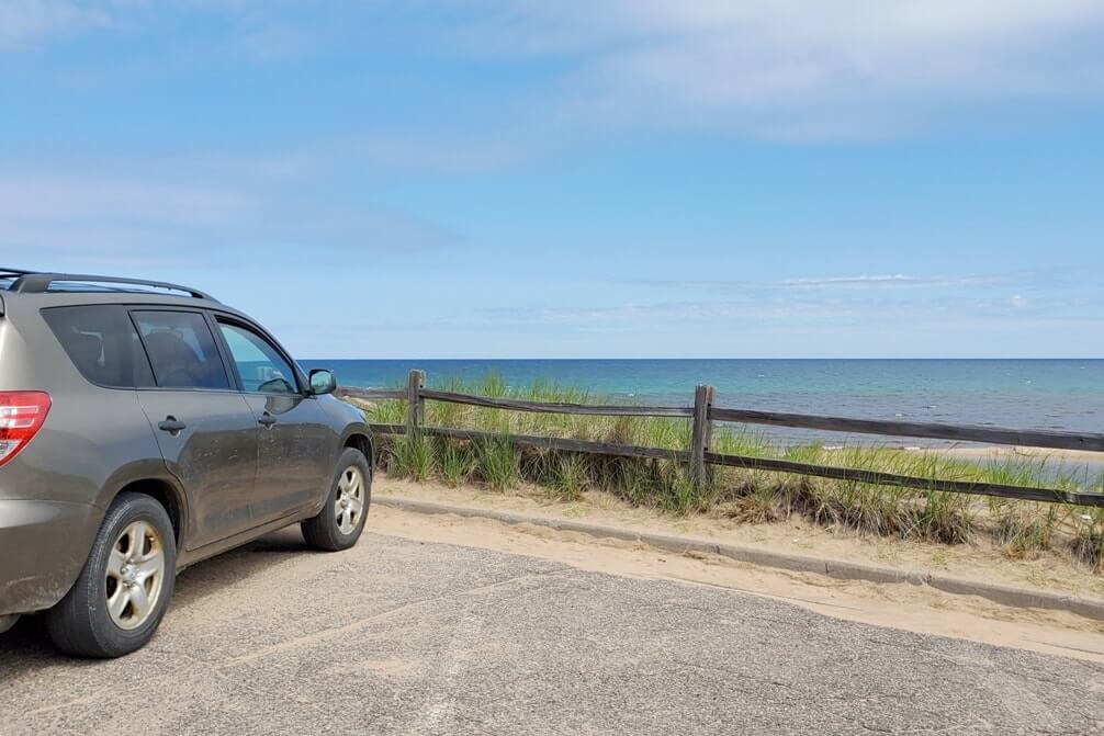
6. Lake Superior scenic view (Au Train Beach)
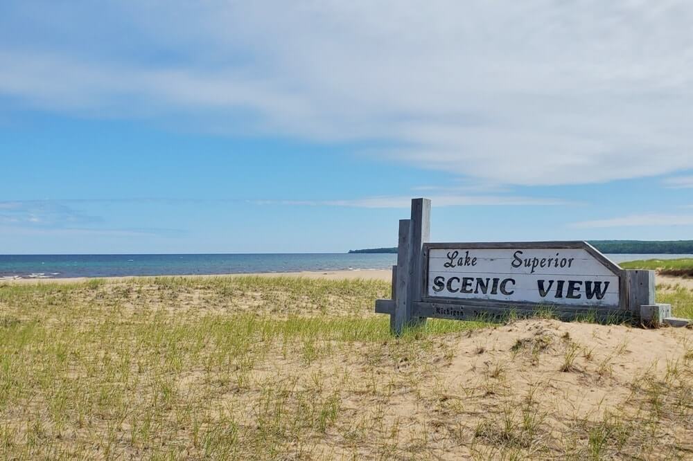
This is a roadside beach stop!
You will see this when you are driving through Au Train on the main road.
Dune grass (beach grass) is said to be fragile, so try not to step on it.
7. Laughing Whitefish Falls Scenic Site
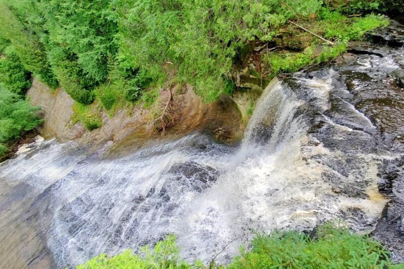
These waterfalls require a bit of a detour, but not too much. These are waterfalls that will likely have much less people compared to Pictured Rocks waterfalls.
This is also a Michigan state scenic site.
See more about this waterfalls stop: Laughing Whitefish Falls
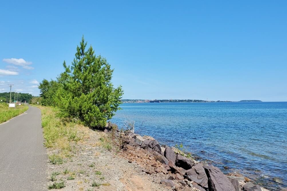
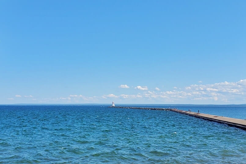
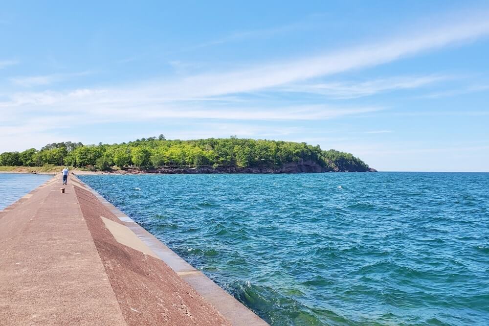
8. Michigan Welcome Center (Marquette)
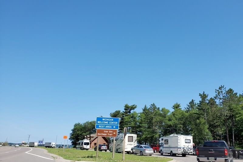
Bathroom stop. 😉 Bathrooms are open in summer 2020 even if the main part of the visitor center is closed.
This is also located on a scenic bay, and there’s also the Iron Ore Heritage Trail that goes by the welcome center.
There are some picnic tables in the back if you want to stop to eat your packed food.
9. Marquette Harbor Lighthouse
I missed going to this! I was chasing lighthouses in the UP, so I’m not sure how I missed this! I forgot to look for lighthouses around Marquette I guess! But if you want to see one of Michigan’s around 100 lighthouses, here’s one to see! This is one of the many Lake Superior lighthouses.
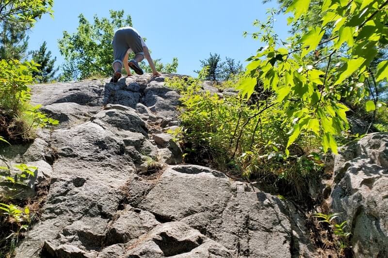
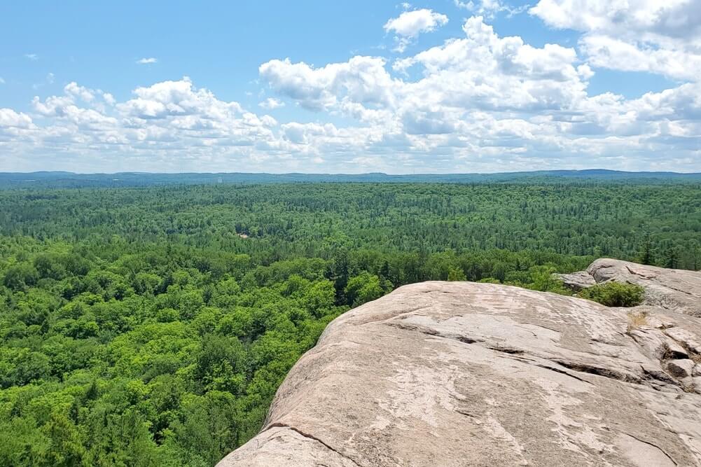
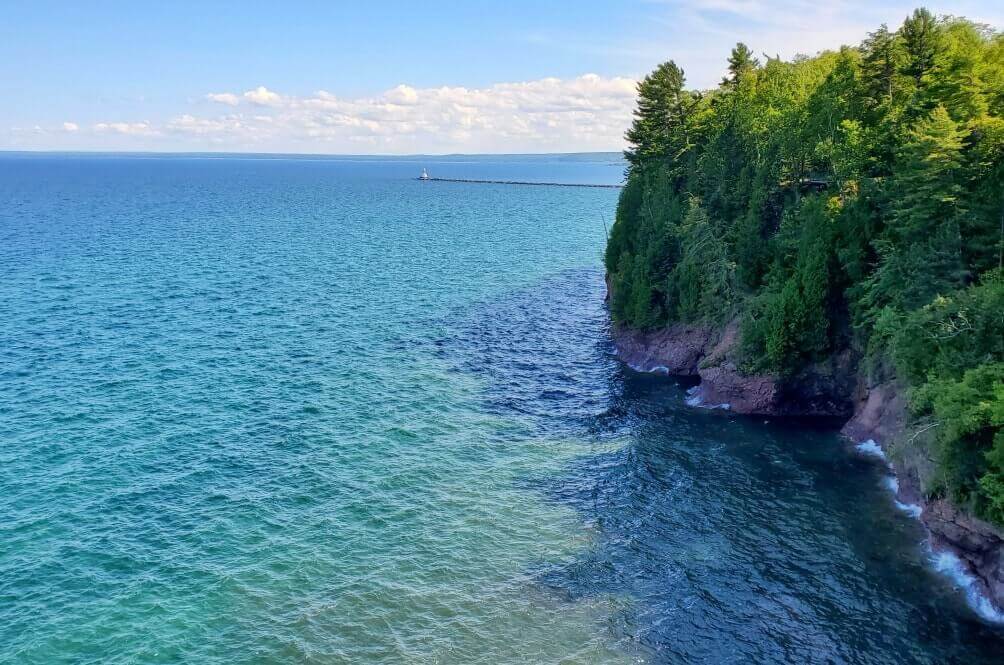
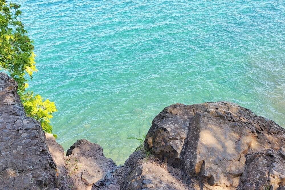
10. Sugarloaf Mountain Natural Area
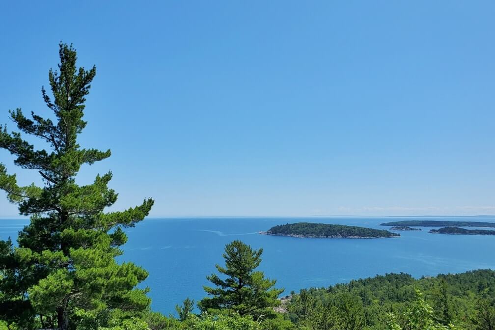
The views at the top were SO incredible!
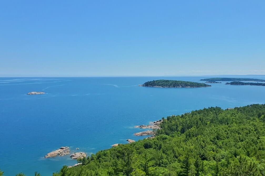
This requires a hike of around 1 mile to get to the top, and you are going uphill. If you are generally active back home, it’s not too difficult.
See more about this hiking stop: Sugarloaf Mountain hike in Michigan
11. Hogback Mountain
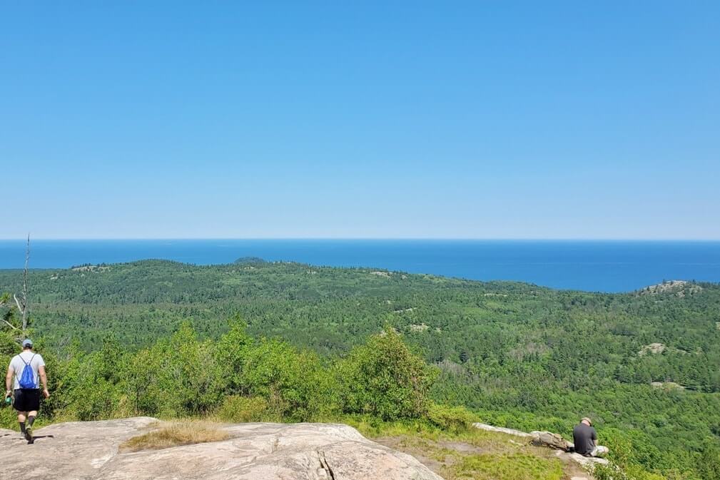
Hogback is a bit more “inland” than Sugarloaf, so the views at Sugarloaf are better, I think.
But Hogback can be considered more of a “fun” hike to some, which in part also means a bit more challenging.
This hike is also going uphill.
And just before the summit of Hogback Mountain is a MAJOR uphill, walking over tree roots, and scrambling over rocks.

Follow the blue blazes on the trees on the Hogback North trail.
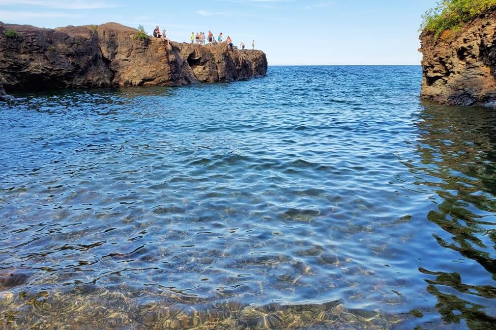
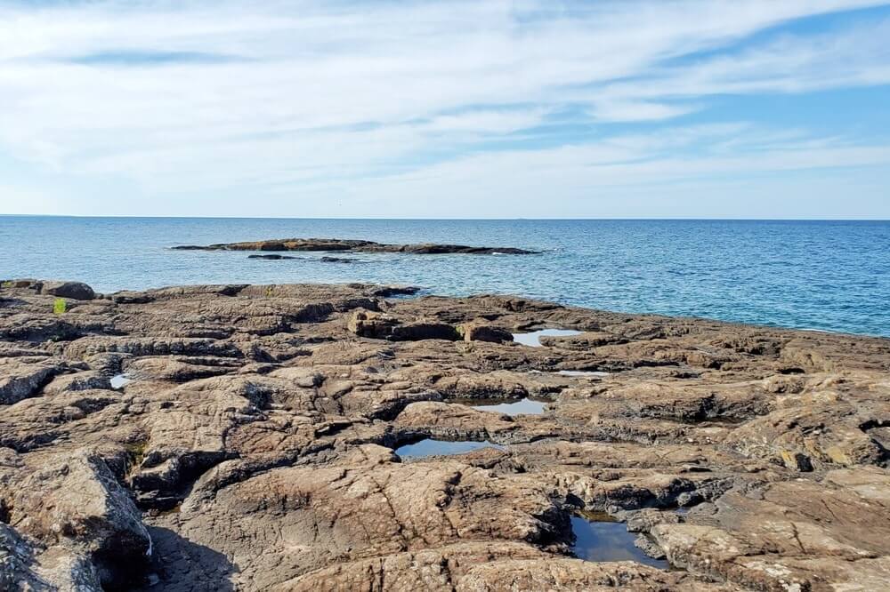
12. Presque Isle Park
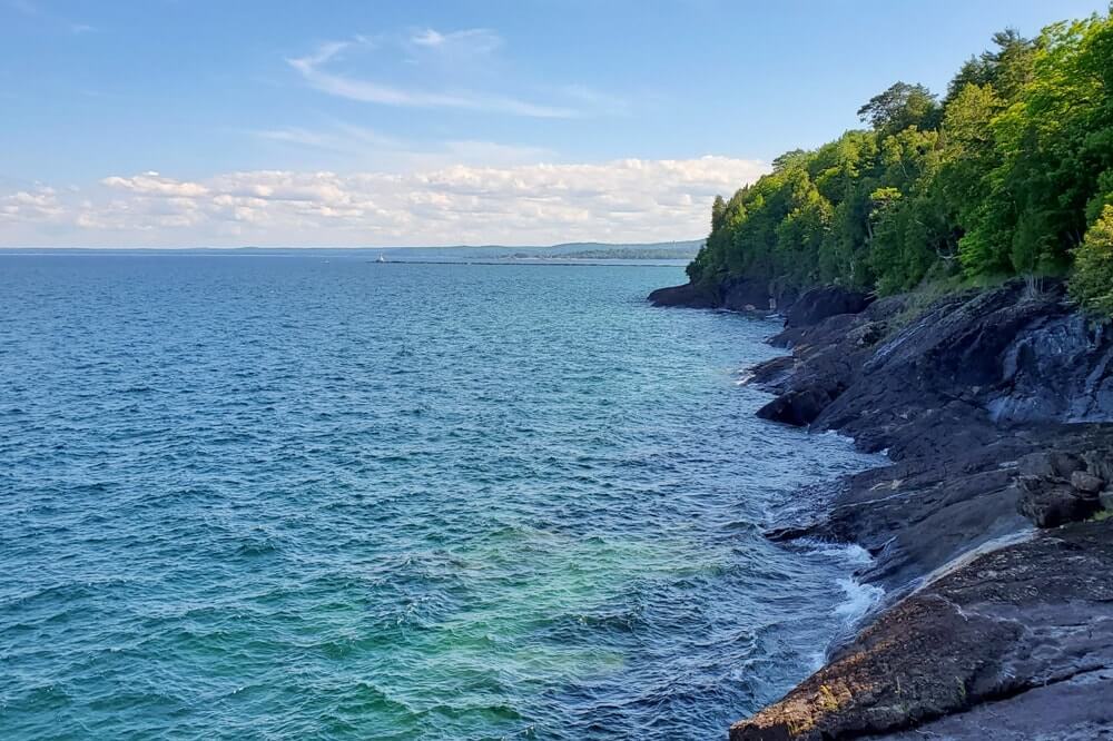
And Presque Isle Park can be the perfect spot to end your day in Marquette!
There’s the Presque Isle Breakwater Light.
There’s the loop you can drive with stops at the scenic overlooks.
And there’s even a cliff jumping spot called Black Rocks if you’re brave enough to jump into cold Lake Superior!
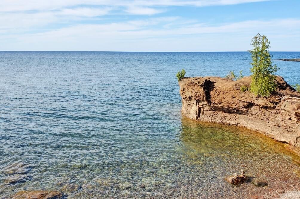
There were spots in Presque Isle Park that kind of reminded me of walking over lava rocks in Hawaii!
Did you know Michigan has a volcanic past?! (Well, it was a LONG time ago, while Hawaii’s volcanic activity is much more recent.)
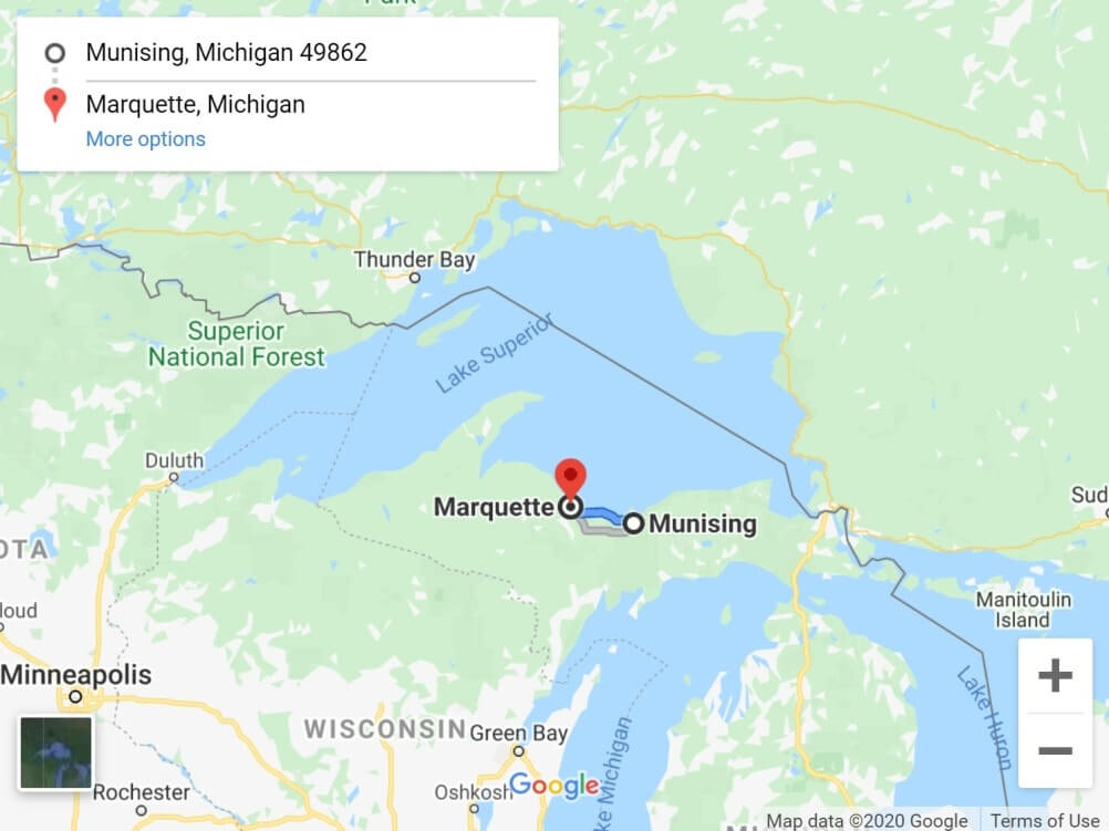
MAP: Driving from Munising to Marquette
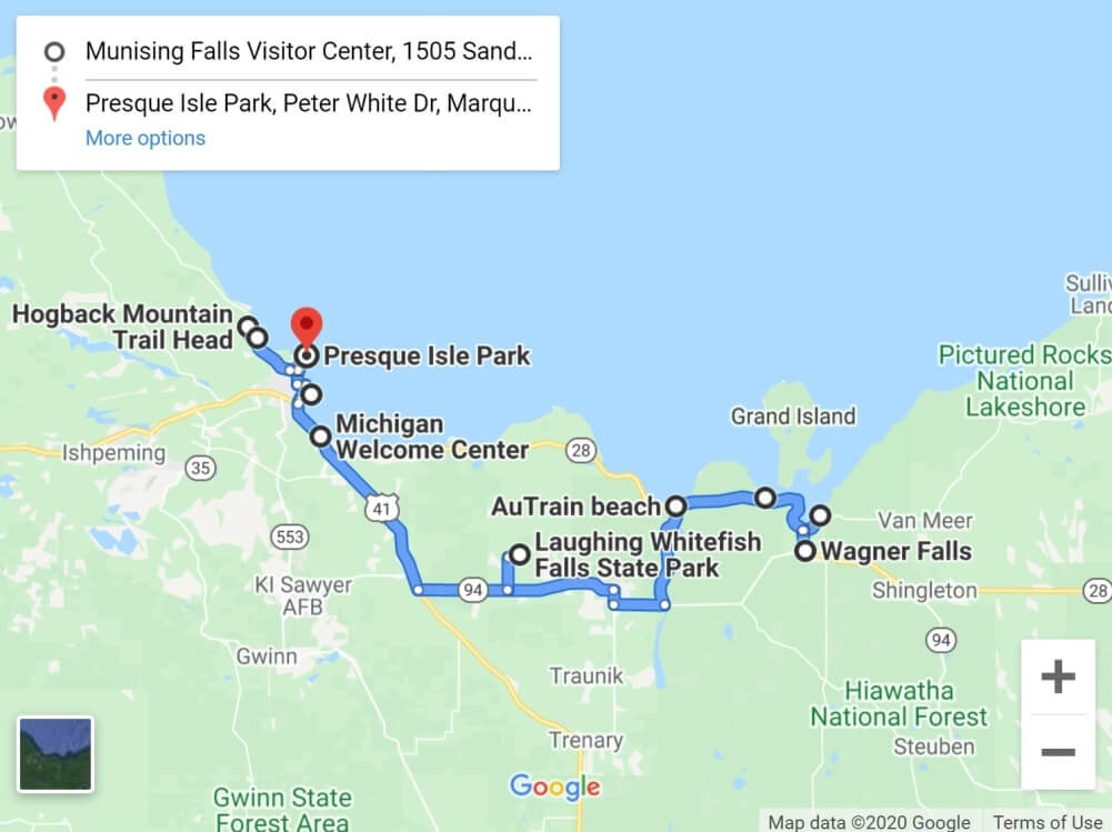
This is the general route. So you will see that it doesn’t follow directly along Lake Superior. Not all stops are listed as there was a limit to how many stops you can include on google maps.
Download offline google maps before you leave home, since data reception may be spotty! GPS generally works in the UP!
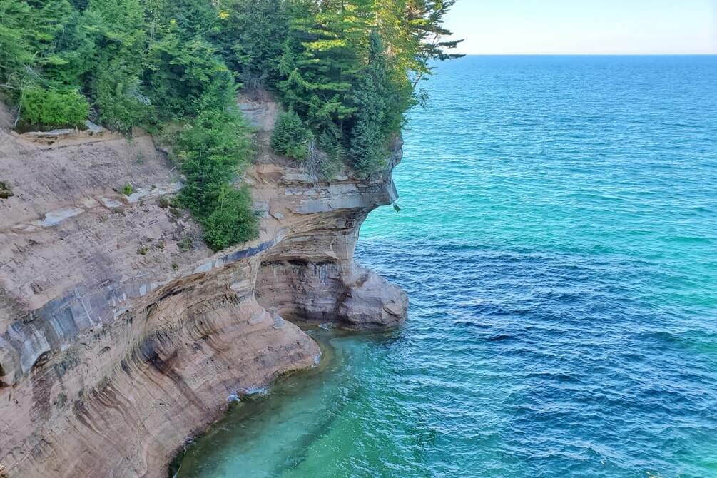
Pictured Rocks in Munising area
The list of stops are just outside the main area of Munising, generally heading west towards Marquette.
It ends with a few activities just outside downtown Marquette to the west.
The list doesn’t include Pictured Rocks National Lakeshore activities, which are the BEST things to do when in the Munising area!
So, you can work on this list below after you’ve finished up at Pictured Rocks and once you start your drive towards Marquette!
But very quickly about the Munising side of Pictured Rocks!
There’s also the Grand Marais side of Pictured Rocks with the big sand dunes that’s about an hour away. See more about driving from Grand Marais to Pictured Rocks.
The Munising side is where the famous Pictured Rocks cliffs are located.
This means that Munising is the popular spot to get a Pictured Rocks boat tour.


And it’s also in the area where you can get a Pictured Rocks kayak tour.
And if you are looking for hiking in Pictured Rocks, it’s also on the Munising side of Pictured Rocks that THE hike to do in the national lakeshore park is located. That’s the Chapel Loop Trail, said to be the only trail where you can see the famous Pictured Rocks cliffs by foot. The trailhead is located around 45 minutes from the main area of Munising.
See more:
Lake Superior circle tour

The Lake Superior circle tour is a thing, and circling Lake Superior means driving around the lake through Michigan, Wisconsin, Minnesota, and Ontario (Canada)!
This drive from Munising to Marquette is a small part of the Lake Superior circle tour!
On the Munising side, you need to see things to do in Pictured Rocks.
Driving further west on the Marquette side, you need to see things to do in the Keweenaw Peninsula and things to do in the western Upper Peninsula.
North Country Trail

There is also something called the North Country Trail which is a national scenic trail.
This is a hiking trail (backpacking trail) that extends for 4,600 miles across many states from the midwest to east coast. Part of it goes through the Upper Peninsula along Lake Superior.
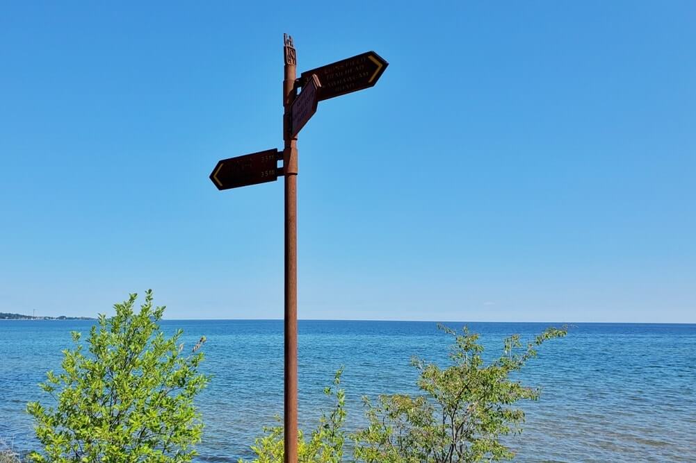
There’s nothing specific about the NCT on this list on the drive from Munising to Marquette, but you may come across signs for it when you’re in the UP, and now you know what it is!
And those are some ideas for your U.P. road trip in the area of Munising and Marquette!
Another common route when doing a road trip in the Upper Peninsula is driving from Paradise to Munising.
Munising is a little over 1.5 hours from Paradise.
Tahquamenon Falls State Park is near Paradise MI.
More for your trip to the UP beyond Munising and Marquette:
- Tahquamenon Falls (map)
- Kitch-iti-kipi (the bubbling big spring of Michigan!) (map)
- Pictured Rocks National Lakeshore (map)
- Porcupine Mountains (map)
- Crisp Point Lighthouse (map)
- Bond Falls (map)
- Best places to visit in the Upper Peninsula (for views!)
Explore Lake Michigan too! (Time listed from Marquette)
- Leelanau Peninsula (lighthouse visit – 6 hours)
- Sleeping Bear Dunes (U.S. national lakeshore visit – 5.5 hours)
- Muskegon State Park (lighthouse, beach, sand dunes! – 7 hours)
HAPPY DRIVING IN THE UPPER PENINSULA FROM MUNISING TO MARQUETTE!


There are partner websites included in this post. I may earn a commission.