
Hi there!
To hike to Chapel Falls only, the Chapel Falls Trail is around 3 miles round trip.
The Chapel Falls Trail is one of the most popular hikes in Pictured Rocks, and it’s not just for the waterfalls!
Many people do the Chapel Falls Trail to hike to the iconic Chapel Rock.
Chapel Falls Trail is also a part of the Chapel Loop basin hike which is what you do for the best views of the Pictured Rocks cliffs on foot.


So as the name indicates, Chapel Falls Trail will lead you to one of the many waterfalls in Pictured Rocks National Lakeshore!
You can hike the Chapel Falls Trail to see Chapel Falls!
To get to the waterfalls, it’s about 1.5 miles from the nearest parking lot.
This would make it a 3 mile round trip hike if you only wanted to make it a waterfall hike.
But you will probably want to go further than that 1.5 miles!
That’s because the Chapel Falls waterfalls aren’t the only thing that the Chapel Falls Trail will take you to!
If you keep following the trail past the waterfalls, the trail will also lead you to Lake Superior where you will find a few more noteworthy things to see!
By hiking the Chapel Falls Trail, you will see Chapel Falls, Chapel Rock, Chapel Beach, and the small Chapel Beach waterfalls flowing into Lake Superior!

👆 You can hike the Chapel Falls Trail to Chapel Rock to see a tree growing on a rock!

👆 You can hike the Chapel Falls Trail to see small “waterfalls” flowing into Lake Superior at the beach!

👆 You can hike the Chapel Falls Trail to a sandy Lake Superior beach!
And if you don’t mind hiking even more…
You can hike further along past the beach and make it into hiking the Chapel Loop Trail so you can see THE famous Pictured Rocks Cliffs by foot!

Backpacking the North Country Trail

The North Country Trail is a national scenic trail that extends for 4,600 miles across many states from the midwest to the east coast.
It also goes through Pictured Rocks for around 40 miles, and there are backcountry campsites along the way.
There is a backcountry campground basically right at Chapel Beach. You can get Lake Superior views from the campground!

This also makes it a campground near the Pictured Rocks cliffs!
A permit is required, and you can make backcountry campsite reservations at the national park camping reservation website.
Cost to see Chapel Falls and Chapel Beach
According to the National Park Service:
To access Pictured Rocks National Lakeshore, you must possess and display:
Pictured Rocks 7-Day or Annual Entrance Pass
OR
America the Beautiful Pass (Annual, Military, Fourth Grade, Senior, or Volunteer).
If you already have an America the Beautiful Pass, you do not need to buy a separate Pictured Rocks Entrance Pass!
The Pictured Rocks entry fee will cover all waterfalls, beaches, and trails in Pictured Rocks National Lakeshore, and that includes the Chapel Falls Trail.
The cost to visit Pictured Rocks in 2023 is $20 per car. This will get you a 7-day Pictured Rocks national park pass. (There is no one-day Pictured Rocks pass.)
Confirm current Pictured Rocks fees.
You can buy a Pictured Rocks national park pass at a Pictured Rocks visitor center when you arrive, or you can buy it online at recreation.gov before you go.
If you will also be visiting other national parks that have entry fees, then you may want to look into getting an annual national park pass aka the America the Beautiful pass!
This annual national park pass will also be accepted at Sleeping Bear Dunes National Lakeshore.
Other popular national parks “near” Michigan include Mammoth Cave National Park in Kentucky and Great Smoky Mountains National Park in Tennessee and North Carolina, but these parks do not have a national park entry fee.
If you have several more weeks to spare in the summer or fall, you can make use of the America the Beautiful national park pass by driving out to Yellowstone National Park!
You can go to national parks in Wyoming and national parks in South Dakota, and you could even add on a national park in North Dakota and/or a national park site in Idaho! See how I did the drive from Chicago to Yellowstone.
If you are a senior, there is also an annual national park pass for seniors that will be worth it even if you only visit Pictured Rocks National Lakeshore! It’s $20! See current fees under America the Beautiful passes.
More below about getting to Chapel Falls and Chapel Beach!
🌳
Now…
PHOTOS of Chapel Falls Trail
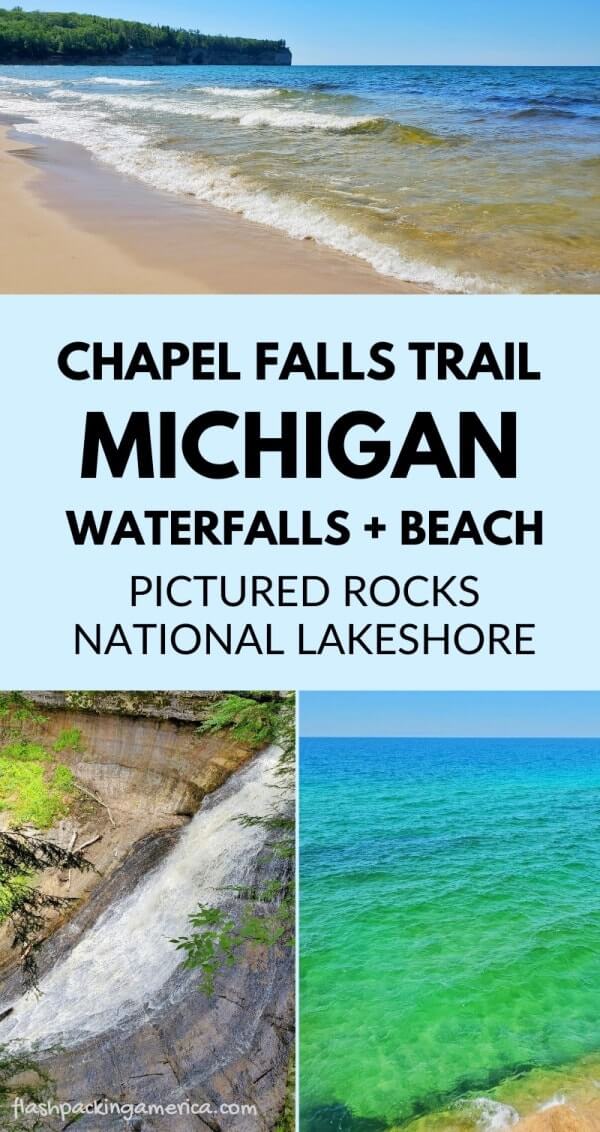
📌 Save this post for later! Save on Pinterest! 👈📌
So Pictured Rocks National Lakeshore has the town of Munising on one side to the west and Grand Marais on the other side to the east.
Chapel Falls is closer to the Munising side.
The Chapel Falls trailhead is in the Chapel Mosquito area. Your destination for google maps can be the Chapel Basin parking lot. It could be best if you have offline google maps downloaded before your UP trip, as data is spotty in the Upper Peninsula. GPS generally works.
The signs you will follow once you are in the park will be for the “Chapel Mosquito area.”

To get to the trailhead, you’ll turn off the main road and drive down the dirt road for around 30 minutes.


Once you turn down this road, there is really only one way to go. The end of the road will be the parking lot.

This parking lot can get FULL! And the road leading up to the parking lot can get FULL of parked cars.
Many park further away from the parking lot and walk an extra 10-15 minutes just to get to the trailhead.

You can take your chances and drive to the parking lot to see if there are any available spots. If there are no spots available, you can either wait around to see if someone will finish up the trail soon, and/or assess if you want to drive back to one of the spots on the side of the road that you saw.
There is a toilet at the parking lot.

There is no drinking water at the trailhead. TIP: always have a few gallon jugs of water in the back of your car so you will always have a water source to fill up your water bottle on hot summer days! You can find water by the gallon in grocery stores. Be sure to take water (and snacks) with you on the Chapel Falls Trail.
So once you get to the parking lot, you’ll see the trailhead.
And any time you see a boot brush at a trailhead… use it! Because why not!


Then, you’ll start the trail! The trail is pretty straight forward so you won’t have any trouble with getting lost.


After walking for maybe 20-30 minutes, you’ll see the stairs to the first overlook to see the waterfalls!


And then you can keep walking.
You’ll then pass by the river (creek) where you can get up close and personal with the water if you want to.


And then you’ll continue walking to come across another overlook. This will be a more distant view of the waterfalls.


If you’re just here for these waterfalls, then at this point you can turn around and make your way back to the parking lot.
Otherwise, you can keep going towards Lake Superior!


And you have made it to the Lake Superior shoreline!


You may see people in the water, but in general, Lake Superior water temperature tends to be COLD. Possibly in the 50s. Lower 60s if you’re lucky!


Hiking to Chapel Beach and back will be around a 7 mile hike.
Once you’re done taking in Lake Superior, you can either take the trail back the way you came. Or continue onwards towards Grand Portal Point to see the famous Pictured Rocks cliffs to complete the Chapel Loop Trail for a 9-10+ mile hike in total.
And that’s a bit of how you can spend a part of your day in the Chapel area!
See more waterfalls: Here is the list of waterfalls in Pictured Rocks!
See more of Pictured Rocks:
See more of the UP:
- Stops to make on the drive from Munising to Marquette
- Stops to make on a circle the UP road trip
- Beautiful views in Marquette (Sugarloaf Mountain)
- Beautiful views in the Keweenaw Peninsula (Devil’s Washtub)
- The bubbling big spring
Love waterfalls?! See the list of best waterfalls in Hawaii too!
HAPPY HIKING CHAPEL FALLS TRAIL TO SEE WATERFALLS AND A LAKE SUPERIOR BEACH!

There are partner websites included in this post. I may earn a commission.