
Hi there!
So the way it goes in Theodore Roosevelt National Park is that you can drive along a scenic drive and if you see some rock formations that you like (and there’s parking nearby!) then you can stop, get out of the car, and go for a little walk around to get up close and personal with the unique rock formations!
As you are driving through Theodore Roosevelt National Park, whether that’s the South Unit Scenic Drive or the North Unit Scenic Drive, there are many places where you can make a short stop to walk around.
And, you can do just that by driving to the Upper Jones Creek trailhead in the South Unit too!
The Upper Jones Creek trailhead is one of 2 trailheads for the Jones Creek Trail.
The Jones Creek Trail is 3.5 miles one way.
That makes the Jones Creek Trail a 7 mile round trip hike.
But you don’t have to hike the whole trail in order to see the rock formations.
In fact, you barely need to hike at all.
If you want to make this a quick stop, you can do that.
Right near the Upper Jones Creek trailhead parking, there are some rocks that you can walk around and climb up onto.
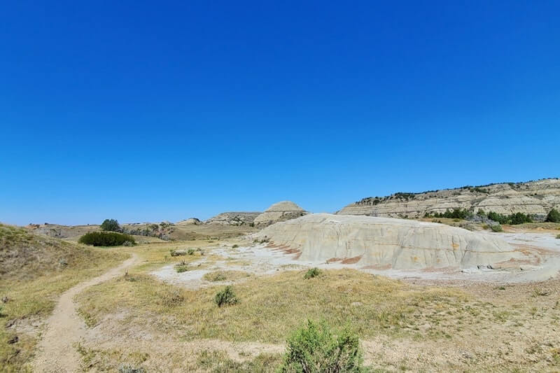

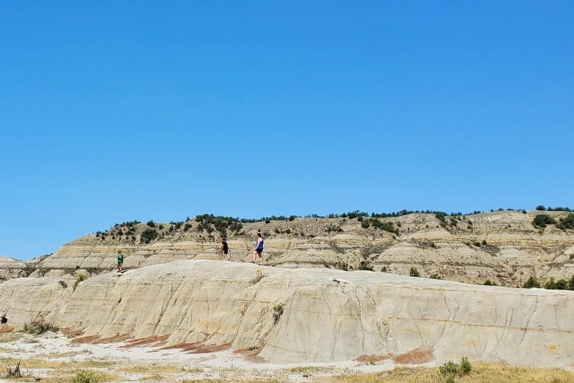
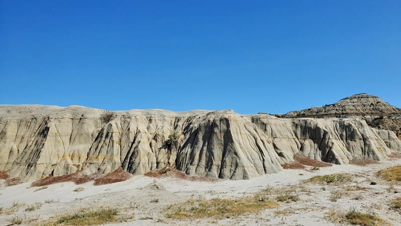
And then if you walk up a little further a couple of minutes on the Jones Creek Trail, then there’s another rock formation too.
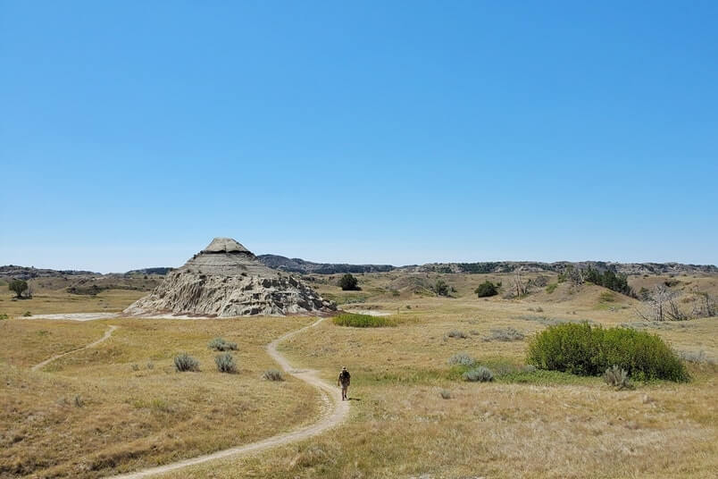
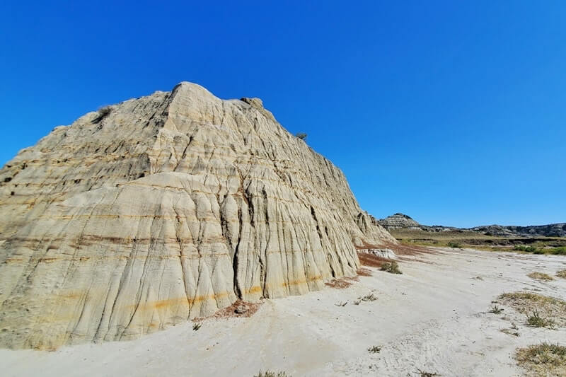
And then you can continue hiking along the Jones Creek Trail… or not!
You can just turn around and head back to your car to see more sights along the South Unit Scenic Drive!
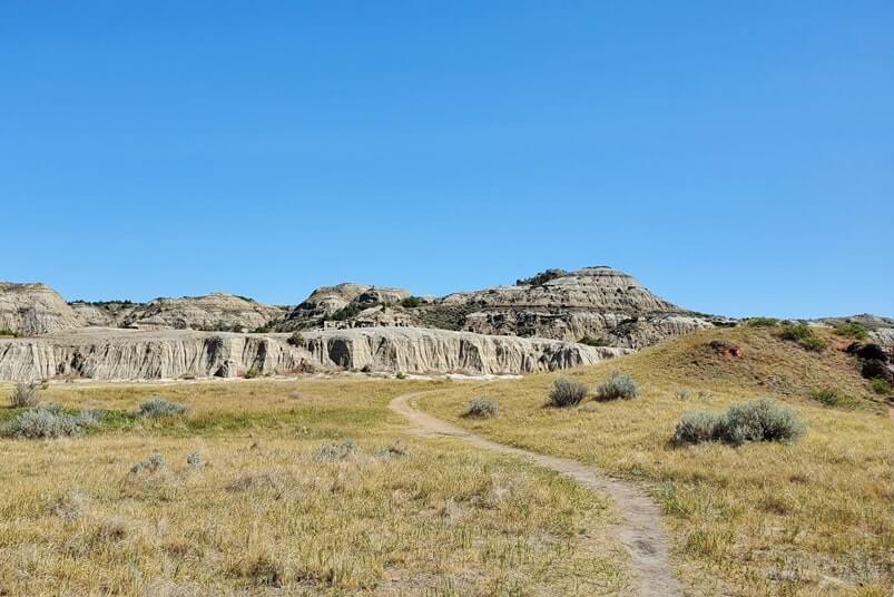
And then, that can be the end of your time on the Jones Creek Trail!
Or, if you want to take your chances to see if you can spot wildlife, you can continue walking along!
The Jones Creek Trail is one of the Theodore Roosevelt National Park South Unit hiking trails that you have a chance to see wildlife. This can include prairie dogs, buffalo, and horses!
The prairie dog town will be another 10 minutes or so of walking.
And then I saw buffalo and horses further along the Jones Creek Trail.
More below about a short stop at the Upper Jones Creek trailhead!
🌞
There are 2 trailheads for Jones Creek Trail along South Unit Scenic Drive.
Jones Creek trailheads:
- The first Jones Creek trailhead you will come across as you are driving the South Unit Scenic Drive is just past Peaceful Valley Ranch and Lower Paddock Creek Trail.
- Upper Jones Creek trailhead is further along on the South Unit Scenic Drive. It will be around a 10 minute drive after Wind Canyon Trail.
Upper Jones Creek trailhead is on google maps. (map)
Getting to Upper Jones Creek trailhead
So as you are driving along the South Unit Scenic Drive, there will be a sign for Jones Creek Trail.
The sign along the South Unit Scenic Drive for the Upper Jones Creek trailhead just says Jones Creel Trail. (It doesn’t specific Upper Jones Creek.)
So make sure you’re on the side of the South Unit Scenic Drive for the Upper Jones Creek trailhead if this is the one you want to see!
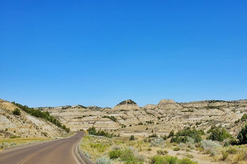

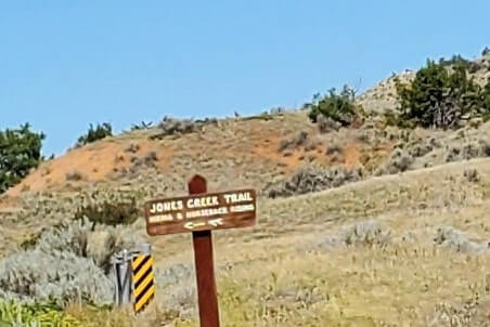
👆 Road to Jones Creek Trail
And then it’s just a short gravel road down to the Upper Jones Creek trailhead parking!


And then…
You can start walking around the Upper Jones Creek trailhead!


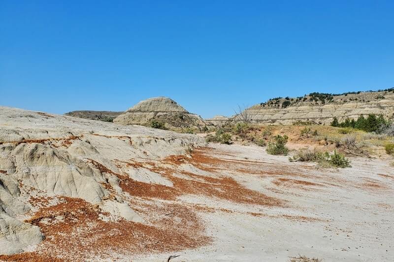

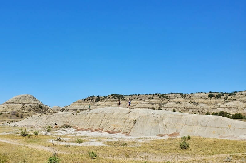
And then you can walk a couple of minutes on the Jones Creek Trail to the other rock formation near the Upper Jones Creek trailhead!


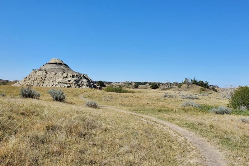


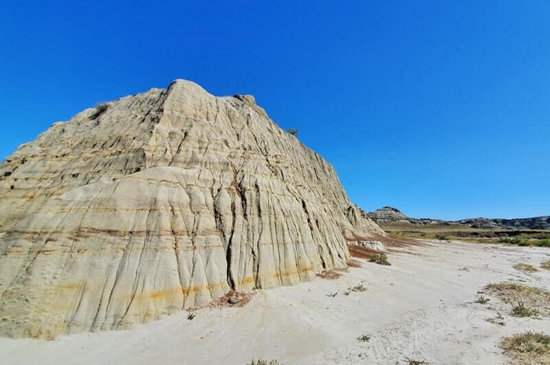


And then you can continue hiking on the Jones Creek Trail…

Or, head back to the Upper Jones Creek trailhead parking lot!

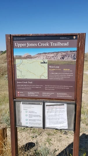
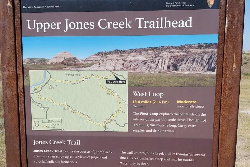
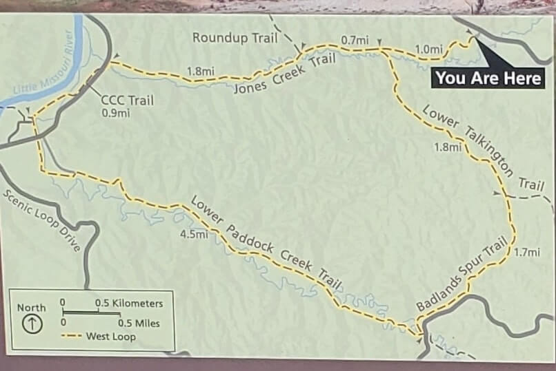
I hiked the Jones Creek Trail from the Upper Jones Creek trailhead to the Roundup Trail junction. I saw prairie dogs, horses, and buffalo! On this map you can also see how the South Unit Scenic Drive is at both ends of the Jones Creek Trail.
And that’s a bit of what it’s like at the Upper Jones Creek trailhead!
More for planning your trip to North Dakota:
- Things to do in Theodore Roosevelt National Park
- South Unit
- North Unit
- Remote Elkhorn Ranch Unit
- Best hikes in Theodore Roosevelt National Park
HAPPY HIKING FROM UPPER JONES CREEK TRAILHEAD!
There are partner websites included in this post. I may earn a commission.